Seaport · China

ZhuhaiCNZUH

22.2333°, 113.5833°
7.9 m
Channel depth
67.2
Port liner connectivity
Zhuhai is also a UN/LOCODE logistics hub →

Channel & Berth Profile

SEA LEVEL (CD)CHANNEL BEDAnchorage · 3.4 mCargo pier · 4.9 mOil terminal · 6.4 mChannel · 7.9 m
NGA World Port Index

Pilotage, Tugs & Services

Tug assistanceYES
Potable waterYES
MedicalYES
NGA World Port Index

Facilities & Capabilities

Container
Ro-Ro
Liquid bulk
Dry bulk
Oil terminal
Break bulk
Dry dock
RepairsNO
BunkeringYES
Rail link
Dangerous cargo
ISPS security
NGA World Port Index

Harbour Specifications

Harbour size
Very Small
NGA World Port Index
Harbour type
Coastal (Breakwater)
NGA World Port Index
Shelter
Good
NGA World Port Index
Water body
South China Sea; North Pacific Ocean
NGA World Port Index
Tidal range
1 m
NGA World Port Index

Liner Connectivity

67.2
PLSCI

Port Liner Shipping Connectivity Index for Zhuhai, as published by UNCTAD for the latest available quarter. Higher values indicate stronger scheduled liner-shipping integration.

Shown relative to the highest per-port PLSCI in the dataset (1,657.9).
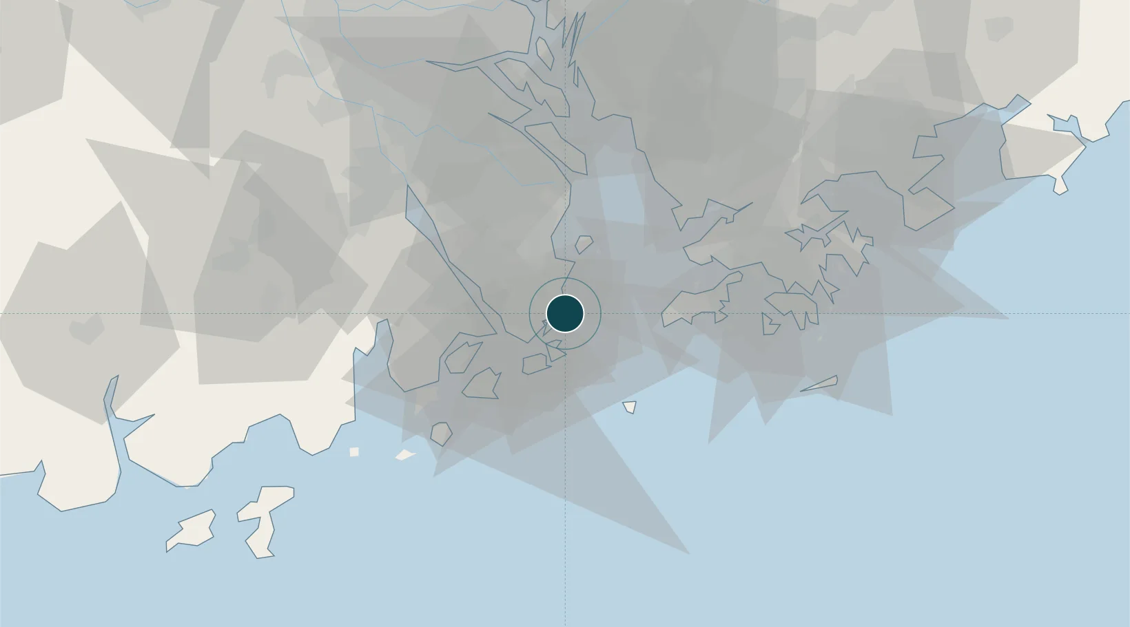
UNCTAD · Port Liner Shipping Connectivity Index

Location

Location of CNZUH
Natural Earth 10m (public domain) · Guangdong · CNZUH · 22.23, 113.58GoogleOSMYandex

Nearby Logistics Neighbours

Ports
  1. 1Macau6 km
  2. 2Shekou39 km
  3. 3Hong Kong64 km
  4. 4Yantian80 km
  5. 5Huangpuxingang91 km
Nearest neighbours — logibook spatial index (haversine) over the source coordinates
Cities
  1. 1Doumen Pt6 km
  2. 2Qianshan/Zhuhai7 km
  3. 3Macau7 km
  4. 4Wanzai9 km
  5. 5Zhongshan26 km
Nearest neighbours — logibook spatial index (haversine) over the source coordinates
Airports
  1. 1Macau International Airport9 km
  2. 2Zhuhai Jinwan Airport33 km
  3. 3Hong Kong International Airport35 km
  4. 4Shenzhen Bao'an International Airport51 km
  5. 5Shek Kong Air Base56 km
Nearest neighbours — logibook spatial index (haversine) over the source coordinates
Trade Zones
  1. 1Zhuhai Jinwan Liangang Industrial Park32 km
  2. 2Zhongshan Industrial Park38 km
  3. 3Zhongshan Industrial Park48 km
  4. 4Yuehai Equipment Industrial Park51 km
  5. 5Guangzhou Nansha Export Processing Zone52 km
Nearest neighbours — logibook spatial index (haversine) over the source coordinates
DatabookThe Record of Consolidated Knowledge
China beyond logistics?
Browse databook

All Sources

Portsthe NGA World Port Index
Public domain (US gov)
Logistics performanceUNCTAD
CC BY 3.0 IGO
AirportsOurAirports
Public domain
LocationsUN/LOCODE
UN/LOCODE — free
Trade Zonesthe World Bank SEZ database
CC BY 4.0
Trade ZonesOpen Zone Map
CC BY
← China ports