UN/LOCODE hub · China
CNFKJ

Jiangkou

23.4500°, 111.5000°
1
Transport functions

Transport Functions

Port
UN/LOCODE

Hub Profile

Place type
District seat
GeoNames
Region
Guangdong
GeoNames
Time zone
Asia/Shanghai
GeoNames
Elevation
35 m
GeoNames

Location

Location of CNFKJ
Natural Earth 10m (public domain) · Guangdong · CNFKJ · 23.45, 111.50GoogleOSMYandex

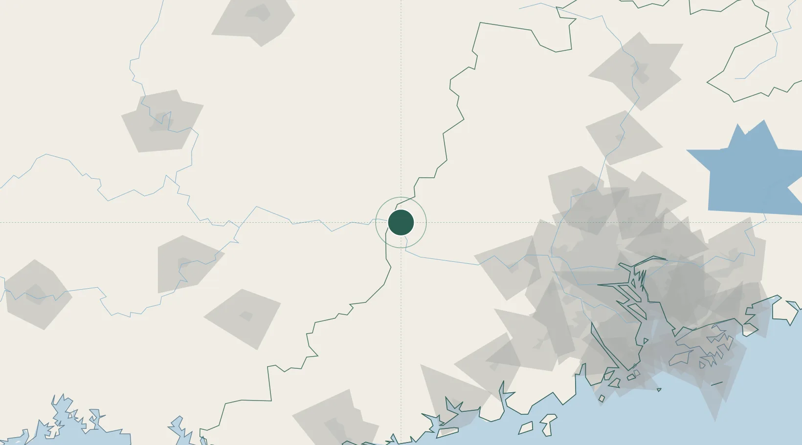
Nearby Logistics Neighbours

Cities
  1. 1Cangwu19 km
  2. 2Wuzhou44 km
  3. 3Nanjiangkou48 km
  4. 4Changan63 km
  5. 5Liudu67 km
Nearest neighbours — logibook spatial index (haversine) over the source coordinates
Ports
  1. 1Guangzhou181 km
  2. 2Huangpu200 km
  3. 3Huangpuxingang209 km
  4. 4Shui Dong223 km
  5. 5Zhuhai253 km
Nearest neighbours — logibook spatial index (haversine) over the source coordinates
Airports
  1. 1Wuzhou Xijiang Airport42 km
  2. 2Guiping Mengxu Air Base153 km
  3. 3Foshan Shadi Airport166 km
  4. 4Yulin Fumian Airport181 km
  5. 5Guangzhou Baiyun International Airport184 km
Nearest neighbours — logibook spatial index (haversine) over the source coordinates
DatabookThe Record of Consolidated Knowledge
China beyond logistics?
Browse databook

All Sources

LocationsUN/LOCODE
UN/LOCODE — free
Portsthe NGA World Port Index
Public domain (US gov)
AirportsOurAirports
Public domain
Trade Zonesthe World Bank SEZ database
CC BY 4.0
Trade ZonesOpen Zone Map
CC BY
← China locations