Export Processing Zone · China
Luoding City Industrial Transfer Industrial Park Active
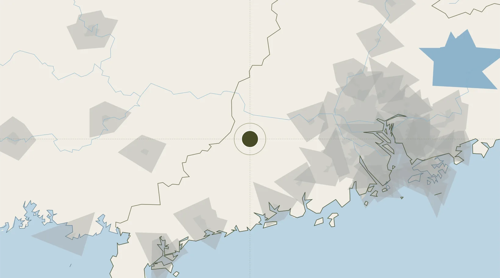
22.8115°, 111.6245°
913 ha
Zone area
157.9 km
Nearest port
85.3 km
Nearest airport
Gateway access
Zone profile
Zone type
Export Processing Zone
Region
Guangdong
Status
Active
Management
Public
Operator
Luoding Shuangdong Environmental Protection Industrial Park Service Center
Legal framework
With the approval of The State Council, the National Development and Reform Commission, the Ministry of Science and Technology, the Ministry of Land and Resources, the Ministry of Housing and Urban-Rural Development, the Ministry of Commerce and the Gener
Location
Nearby Logistics Neighbours
Ports
- 1Shui Dong158 km
- 2Guangzhou168 km
- 3Huangpu186 km
- 4Huangpuxingang194 km
- 5Zhuhai211 km
Airports
- 1Wuzhou Xijiang Airport85 km
- 2Foshan Shadi Airport151 km
- 3Yulin Fumian Airport160 km
- 4Guiping Mengxu Air Base175 km
- 5Zhanjiang Wuchuan International Airport182 km
Cities
- 1Guigang31 km
- 2Wuzhou31 km
- 3Nanjiangkou38 km
- 4Liudu48 km
- 5Jiangkou72 km
DatabookThe Record of Consolidated Knowledge
China beyond logistics?