UN/LOCODE hub · China
CNGUG

Guigang

22.6847°, 111.8951°
1
Transport functions

Transport Functions

Port
UN/LOCODE

Hub Profile

Place type
Local administrative seat
GeoNames
Region
Guangdong
GeoNames
Time zone
Asia/Shanghai
GeoNames
Elevation
63 m
GeoNames
Logistics facilities
3
UN/LOCODE

Location

Location of CNGUG
Natural Earth 10m (public domain) · Guangdong · CNGUG · 22.68, 111.90GoogleOSMYandex

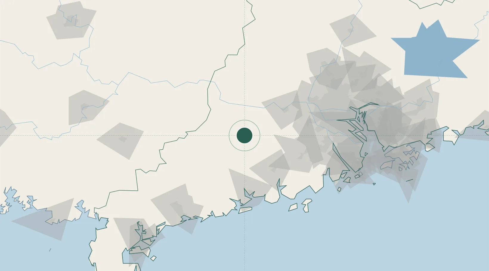
Nearby Logistics Neighbours

Cities
  1. 1Liudu44 km
  2. 2Nanjiangkou49 km
  3. 3Wuzhou51 km
  4. 4Hengban69 km
  5. 5Fengkai70 km
Nearest neighbours — logibook spatial index (haversine) over the source coordinates
Ports
  1. 1Guangzhou145 km
  2. 2Shui Dong158 km
  3. 3Huangpu162 km
  4. 4Huangpuxingang169 km
  5. 5Zhuhai181 km
Nearest neighbours — logibook spatial index (haversine) over the source coordinates
Airports
  1. 1Wuzhou Xijiang Airport115 km
  2. 2Foshan Shadi Airport128 km
  3. 3Guangzhou Baiyun International Airport164 km
  4. 4Zhuhai Jinwan Airport170 km
  5. 5Macau International Airport184 km
Nearest neighbours — logibook spatial index (haversine) over the source coordinates
DatabookThe Record of Consolidated Knowledge
China beyond logistics?
Browse databook

All Sources

LocationsUN/LOCODE
UN/LOCODE — free
Portsthe NGA World Port Index
Public domain (US gov)
AirportsOurAirports
Public domain
Trade Zonesthe World Bank SEZ database
CC BY 4.0
Trade ZonesOpen Zone Map
CC BY
← China locations