Transport Functions
Port
Hub Profile
Place type
Local administrative seat
Region
Guangdong
Time zone
Asia/Shanghai
Elevation
32 m
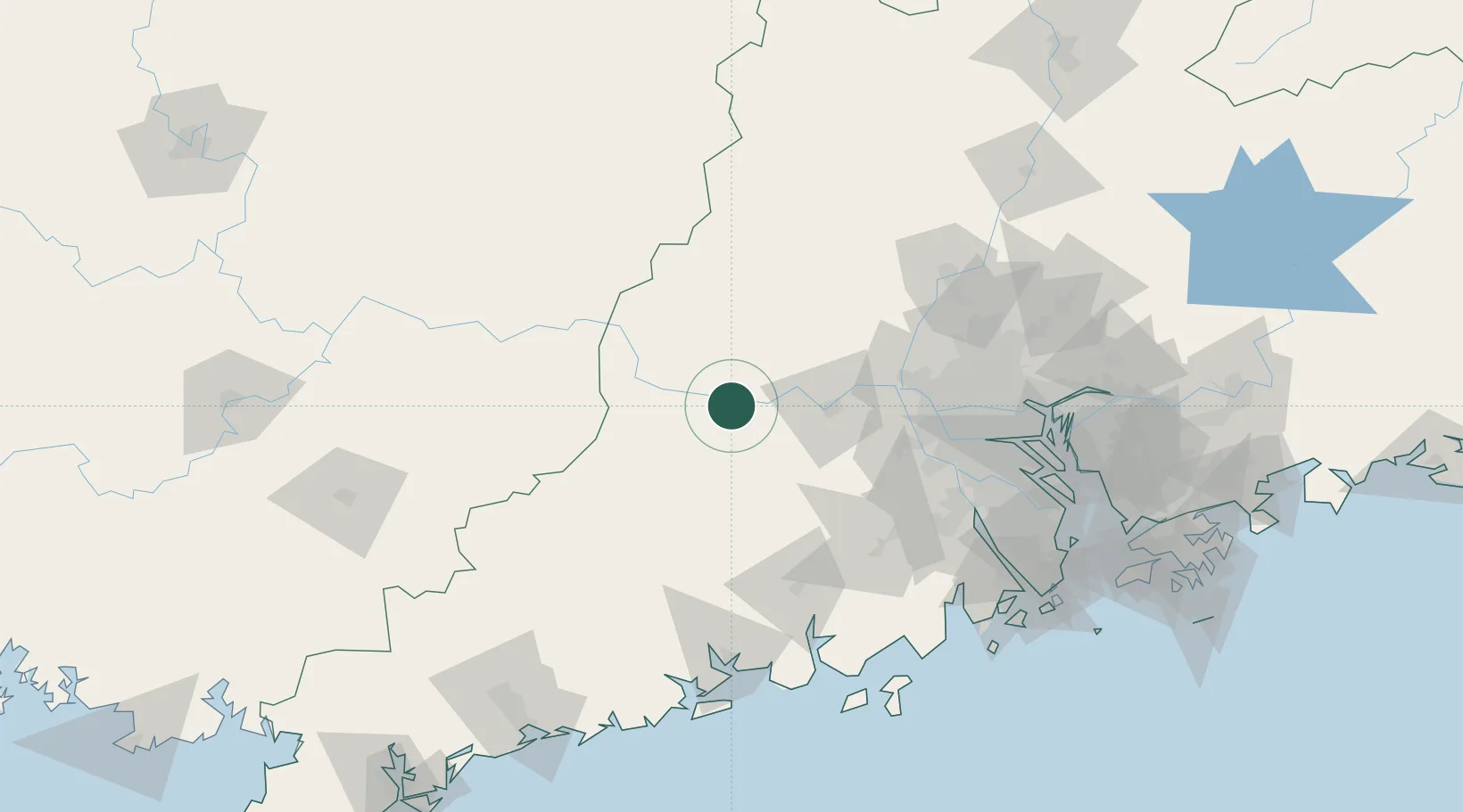
Location
Nearby Logistics Neighbours
Cities
- 1Nanjiangkou21 km
- 2Wuzhou34 km
- 3Guigang44 km
- 4Fengkai46 km
- 5Huaiji46 km
Ports
- 1Guangzhou126 km
- 2Huangpu145 km
- 3Huangpuxingang154 km
- 4Zhuhai187 km
- 5Macau188 km
Airports
- 1Wuzhou Xijiang Airport100 km
- 2Foshan Shadi Airport110 km
- 3Guangzhou Baiyun International Airport138 km
- 4Zhuhai Jinwan Airport184 km
- 5Shenzhen Bao'an International Airport191 km
DatabookThe Record of Consolidated Knowledge
China beyond logistics?