Medium airport · China

Yulin Fumian AirportZGYL
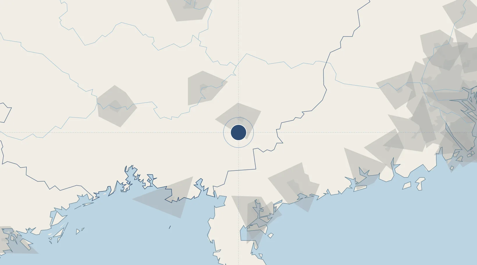
22.4330°, 110.1200°
8,530 ft
Longest runway
1
Runways
328 ft
Elevation

Runway & Layout

Yulin Fumian Airport runway & taxiway layout
Runway & taxiway layout — OpenStreetMap (ODbL) / OurAirports

Runways · 1

RunwayDimensions SurfaceTrue headingLit
04/22 8,530 × 148ft Concrete
OurAirports

Airport Specifications

IATA code
YLX
OurAirports
ICAO code
ZGYL
OurAirports
Airport class
Medium airport
OurAirports
Scheduled service
Yes
OurAirports
Runway surface
Concrete
OurAirports
Served city
Yulin
OurAirports

Location

Location of ZGYL
Natural Earth 10m (public domain) · Guangxi · ZGYL · 22.43, 110.12GoogleOSMYandex

Nearby Logistics Neighbours

Airports
  1. 1Guiping Mengxu Air Base101 km
  2. 2Suixi Air Base116 km
  3. 3Zhanjiang Wuchuan International Airport116 km
  4. 4Beihai Fucheng Airport131 km
  5. 5Wuzhou Xijiang Airport147 km
Nearest neighbours — logibook spatial index (haversine) over the source coordinates
Cities
  1. 1Yulin23 km
  2. 2Lingcheng37 km
  3. 3Shuikou87 km
  4. 4Guicheng90 km
  5. 5Hezhou92 km
Nearest neighbours — logibook spatial index (haversine) over the source coordinates
Ports
  1. 1Zhanjiang140 km
  2. 2Shui Dong145 km
  3. 3Beihai152 km
  4. 4Qinzhou176 km
  5. 5Fang-Cheng198 km
Nearest neighbours — logibook spatial index (haversine) over the source coordinates
Trade Zones
  1. 1Baise High-Tech Industrial Development Zone34 km
  2. 2Beiliu Daily Ceramic Industrial Park39 km
  3. 3Pubei Economic Development Zone63 km
  4. 4Beibu Gulf Economic Zone74 km
  5. 5Xinyi Economic Development Zone86 km
Nearest neighbours — logibook spatial index (haversine) over the source coordinates
DatabookThe Record of Consolidated Knowledge
China beyond logistics?
Browse databook

All Sources

AirportsOurAirports
Public domain
Portsthe NGA World Port Index
Public domain (US gov)
LocationsUN/LOCODE
UN/LOCODE — free
Trade Zonesthe World Bank SEZ database
CC BY 4.0
Trade ZonesOpen Zone Map
CC BY
InfrastructureOpenStreetMap
ODbL 1.0
← China airports