Export Processing Zone · China
Yunfu Industrial Park Active
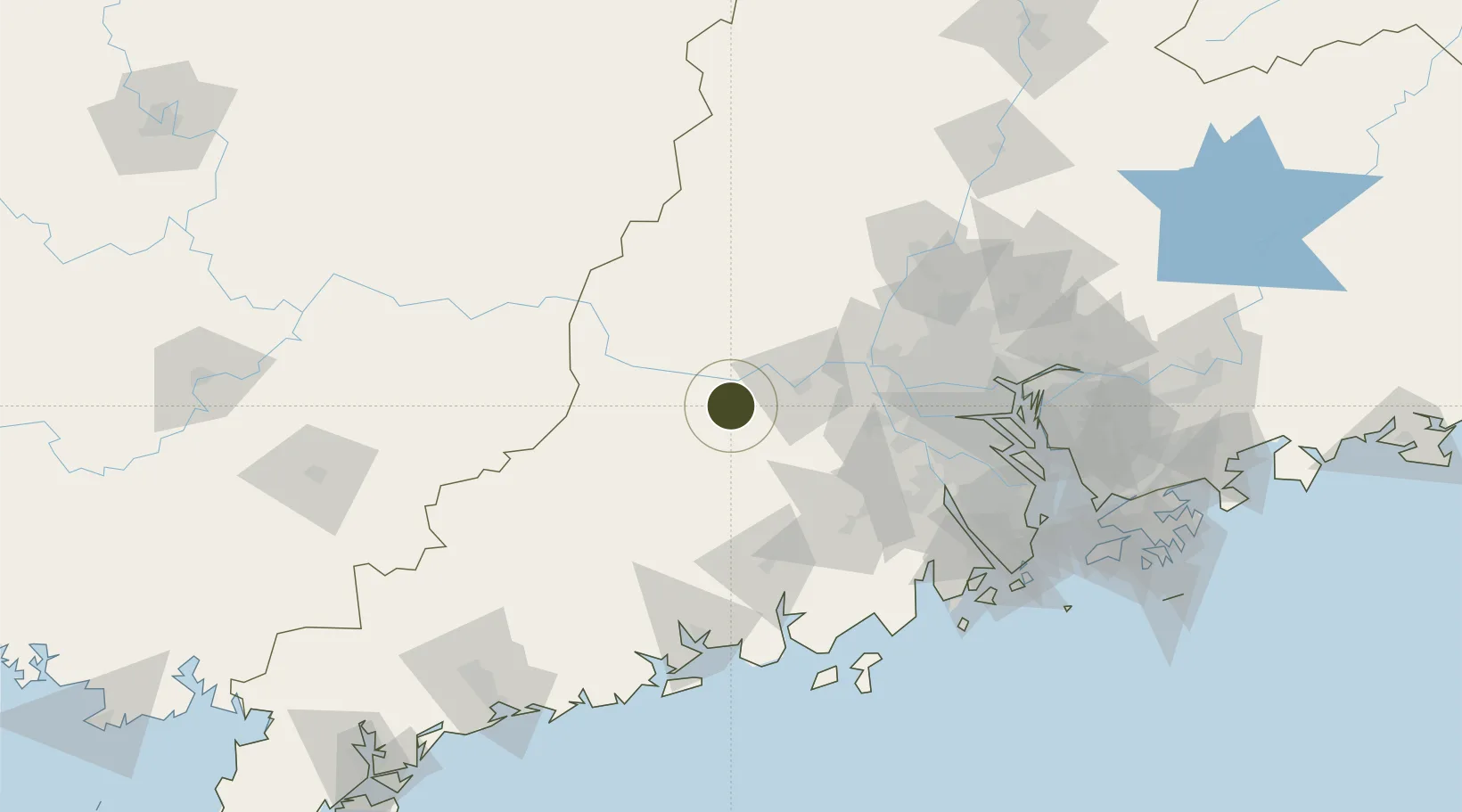
22.9578°, 112.1400°
750 ha
Zone area
113.3 km
Nearest port
96.3 km
Nearest airport
Gateway access
Zone profile
Zone type
Export Processing Zone
Region
Guangdong
Status
Active
Management
Public
Operator
Foshan (Yunfu) Industrial Transfer Industrial Park Management Committee
Legal framework
Unavailable
Location
Nearby Logistics Neighbours
Ports
- 1Guangzhou113 km
- 2Huangpu131 km
- 3Huangpuxingang140 km
- 4Zhuhai169 km
- 5Macau170 km
Airports
- 1Foshan Shadi Airport96 km
- 2Wuzhou Xijiang Airport118 km
- 3Guangzhou Baiyun International Airport128 km
- 4Zhuhai Jinwan Airport165 km
- 5Macau International Airport174 km
Cities
- 1Liudu19 km
- 2Fengkai33 km
- 3Huaiji33 km
- 4Nanjiangkou39 km
- 5Guigang39 km
DatabookThe Record of Consolidated Knowledge
China beyond logistics?