UN/LOCODE hub · China
CNCGW

Cangwu

23.4833°, 111.3167°
2
Transport functions

Transport Functions

Port
Road
UN/LOCODE

Hub Profile

Place type
District seat
GeoNames
Region
Guangxi
GeoNames
Time zone
Asia/Shanghai
GeoNames
Elevation
57 m
GeoNames

Location

Location of CNCGW
Natural Earth 10m (public domain) · Guangxi · CNCGW · 23.48, 111.32GoogleOSMYandex

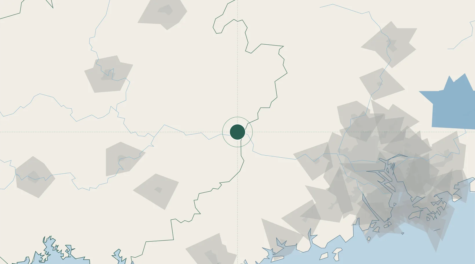
Nearby Logistics Neighbours

Cities
  1. 1Jiangkou19 km
  2. 2Wuzhou57 km
  3. 3Nanjiangkou64 km
  4. 4Changan74 km
  5. 5Liuzhou84 km
Nearest neighbours — logibook spatial index (haversine) over the source coordinates
Ports
  1. 1Guangzhou200 km
  2. 2Huangpu219 km
  3. 3Shui Dong224 km
  4. 4Huangpuxingang228 km
  5. 5Zhuhai271 km
Nearest neighbours — logibook spatial index (haversine) over the source coordinates
Airports
  1. 1Wuzhou Xijiang Airport25 km
  2. 2Guiping Mengxu Air Base135 km
  3. 3Yulin Fumian Airport169 km
  4. 4Foshan Shadi Airport185 km
  5. 5Guangzhou Baiyun International Airport203 km
Nearest neighbours — logibook spatial index (haversine) over the source coordinates
DatabookThe Record of Consolidated Knowledge
China beyond logistics?
Browse databook

All Sources

LocationsUN/LOCODE
UN/LOCODE — free
Portsthe NGA World Port Index
Public domain (US gov)
AirportsOurAirports
Public domain
Trade Zonesthe World Bank SEZ database
CC BY 4.0
Trade ZonesOpen Zone Map
CC BY
← China locations