Export Processing Zone · China
Guangdong Cooperation Special Pilot Zone Active
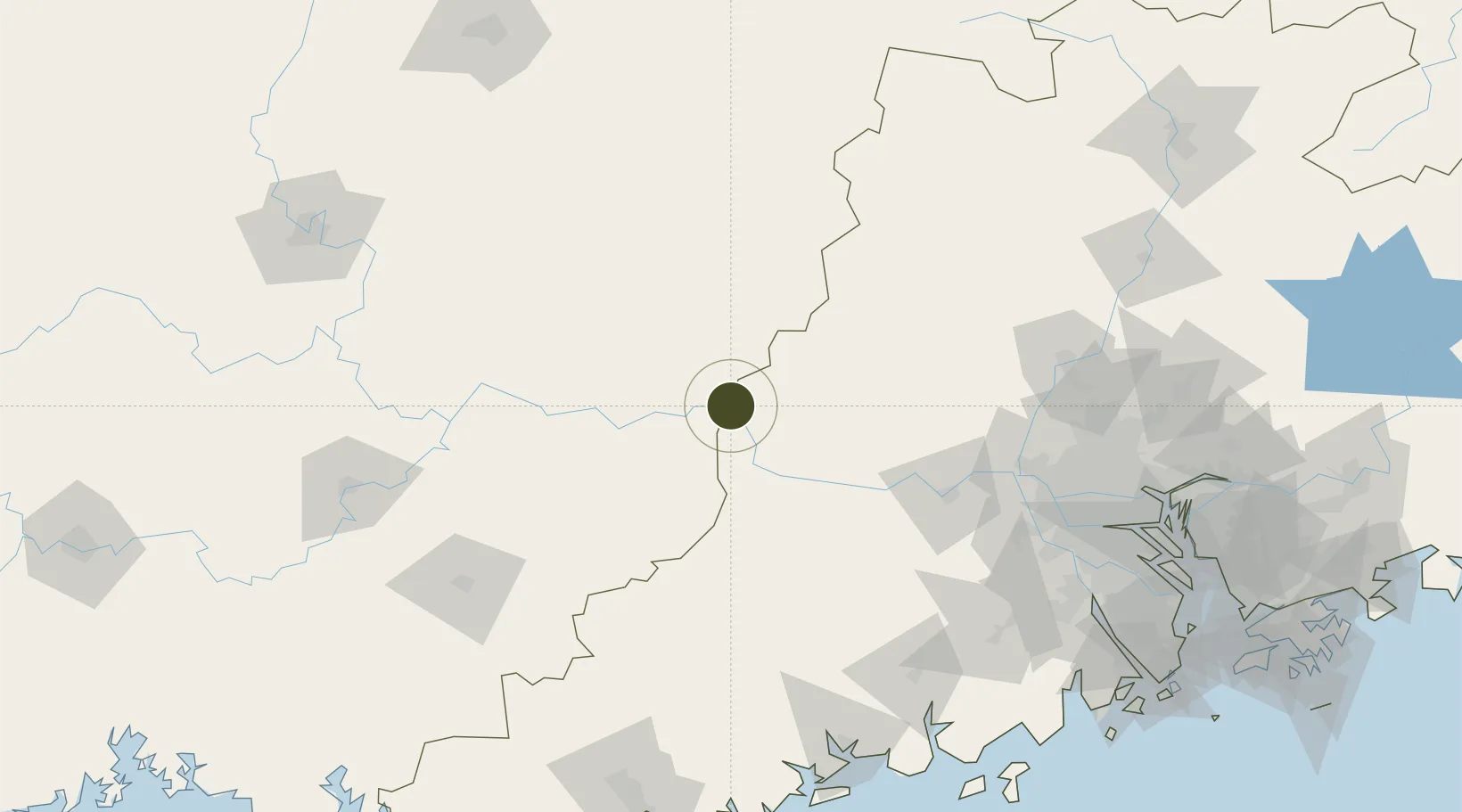
23.4819°, 111.4326°
14,000 ha
Zone area
188.3 km
Nearest port
35.7 km
Nearest airport
Gateway access
Zone profile
Zone type
Export Processing Zone
Region
Guangdong
Status
Active
Management
Public
Operator
Working Committee of Guangdong Cooperation Special Pilot Zone
Legal framework
The Overall Development Plan for the Guangdong-Guangxi Cooperation Special Pilot Zone (2013-2030), the Outline of the Development Plan for the Guangdong-Hong Kong-Macao Greater Bay Area
Location
Nearby Logistics Neighbours
Ports
- 1Guangzhou188 km
- 2Huangpu207 km
- 3Huangpuxingang217 km
- 4Shui Dong225 km
- 5Zhuhai260 km
Airports
- 1Wuzhou Xijiang Airport36 km
- 2Guiping Mengxu Air Base146 km
- 3Foshan Shadi Airport173 km
- 4Yulin Fumian Airport178 km
- 5Guangzhou Baiyun International Airport191 km
Cities
- 1Jiangkou8 km
- 2Cangwu12 km
- 3Wuzhou50 km
- 4Nanjiangkou55 km
- 5Changan65 km
DatabookThe Record of Consolidated Knowledge
China beyond logistics?