Export Processing Zone · China

Yunfu High-tech Industrial Development Zone Active
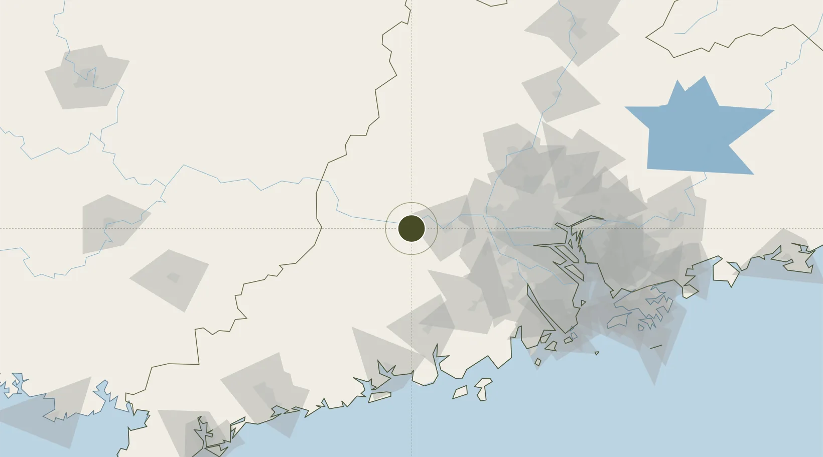
23.0484°, 112.1764°
53,550 ha
Zone area
108.4 km
Nearest port
91.6 km
Nearest airport

Gateway access

Nearest neighbours — logibook spatial index (haversine) over the source coordinates

Zone profile

Zone type
Export Processing Zone
Open Zone Map
Region
Guangdong
Open Zone Map
Status
Active
Open Zone Map
Management
Public
Open Zone Map
Operator
Working Committee of Yunfu High-tech Industrial Development Zone
Open Zone Map
Legal framework
General Plan for the Development of Yunfu New Area
Open Zone Map

Location

Location of ozm-1481
Natural Earth 10m (public domain) · Guangdong · ozm-1481 · 23.05, 112.18GoogleOSMYandex

Nearby Logistics Neighbours

Ports
  1. 1Guangzhou108 km
  2. 2Huangpu127 km
  3. 3Huangpuxingang135 km
  4. 4Zhuhai171 km
  5. 5Macau172 km
Nearest neighbours — logibook spatial index (haversine) over the source coordinates
Airports
  1. 1Foshan Shadi Airport92 km
  2. 2Wuzhou Xijiang Airport118 km
  3. 3Guangzhou Baiyun International Airport121 km
  4. 4Zhuhai Jinwan Airport169 km
  5. 5Shenzhen Bao'an International Airport173 km
Nearest neighbours — logibook spatial index (haversine) over the source coordinates
Cities
  1. 1Liudu18 km
  2. 2Fengkai28 km
  3. 3Huaiji28 km
  4. 4Nanjiangkou39 km
  5. 5Guigang50 km
Nearest neighbours — logibook spatial index (haversine) over the source coordinates
DatabookThe Record of Consolidated Knowledge
China beyond logistics?
Browse databook

All Sources

Trade ZonesOpen Zone Map
CC BY
Portsthe NGA World Port Index
Public domain (US gov)
AirportsOurAirports
Public domain
LocationsUN/LOCODE
UN/LOCODE — free
← China trade zones