Transport Functions
Port
Hub Profile
Place type
District seat
Region
Heilongjiang
Time zone
Asia/Shanghai
Elevation
437 m
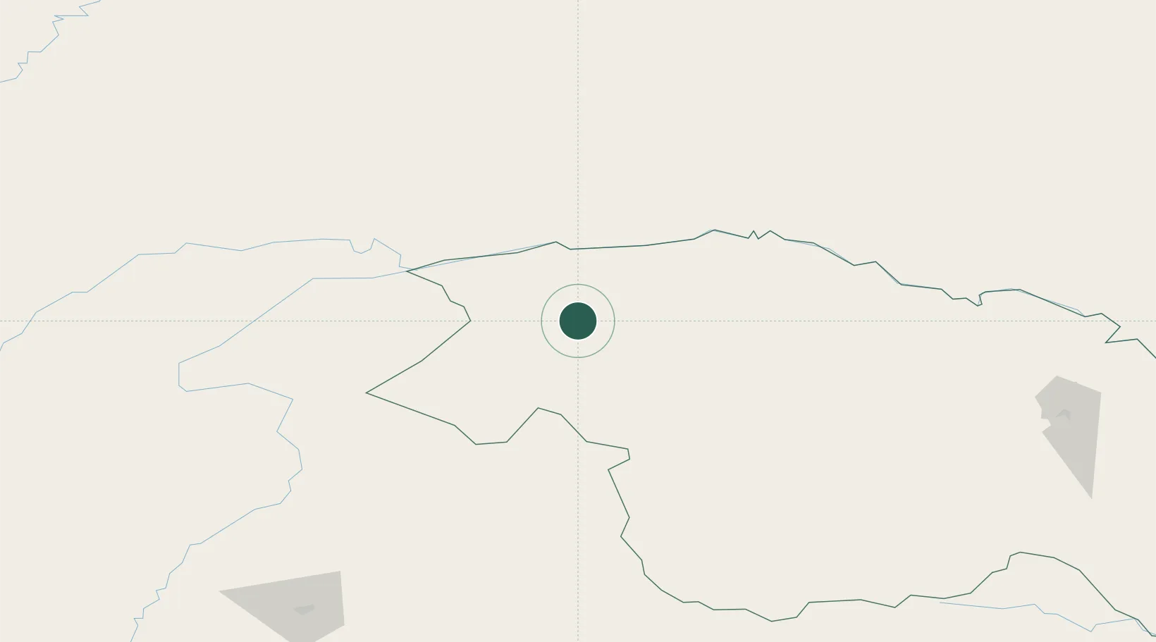
Location
Nearby Logistics Neighbours
Ports
- 1Vladivostok1304 km
- 2Slavyanka1308 km
- 3Pos'yet1308 km
- 4Zarubino1320 km
- 5Najin1334 km
Airports
- 1Mohe Gulian Airport11 km
- 2Daxing'anling Elunchun Airport316 km
- 3Ignatyevo Airport447 km
- 4Krasnokamensk Airport450 km
- 5Chulman Airport461 km
DatabookThe Record of Consolidated Knowledge
China beyond logistics?