Medium airport · China

Mohe Gulian AirportZYMH
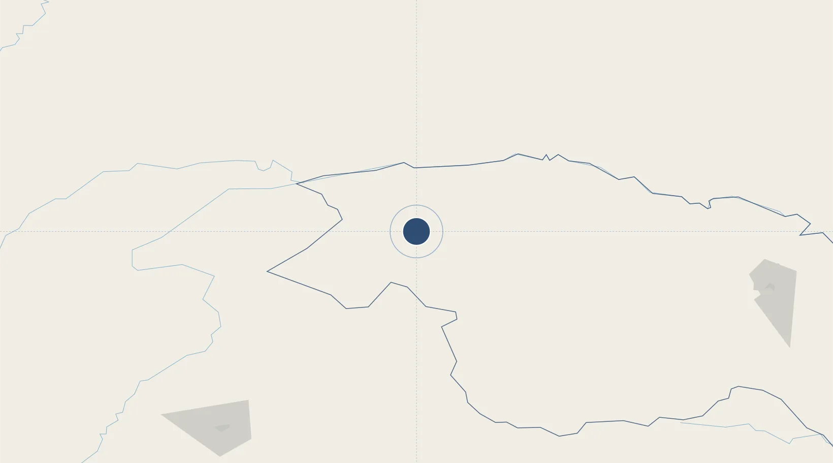
52.9169°, 122.4228°
7,218 ft
Longest runway
1
Runways
1,836 ft
Elevation

Runway & Layout

Mohe Gulian Airport runway & taxiway layout
Runway & taxiway layout — OpenStreetMap (ODbL) / OurAirports

Runways · 1

RunwayDimensions SurfaceTrue headingLit
15/33 7,218 × —ft Concrete
OurAirports

Airport Specifications

IATA code
OHE
OurAirports
ICAO code
ZYMH
OurAirports
Airport class
Medium airport
OurAirports
Scheduled service
Yes
OurAirports
Runway surface
Concrete
OurAirports
Served city
Mohe
OurAirports

Location

Location of ZYMH
Natural Earth 10m (public domain) · Heilongjiang · ZYMH · 52.92, 122.42GoogleOSMYandex

Nearby Logistics Neighbours

Airports
  1. 1Daxing'anling Elunchun Airport306 km
  2. 2Krasnokamensk Airport440 km
  3. 3Ignatyevo Airport442 km
  4. 4Hulunbuir Hailar Airport451 km
  5. 5Heihe Aihui Airport455 km
Nearest neighbours — logibook spatial index (haversine) over the source coordinates
Cities
  1. 1Mohe11 km
  2. 2Shiwei248 km
  3. 3Talakan262 km
  4. 4Tygda263 km
  5. 5Huma318 km
Nearest neighbours — logibook spatial index (haversine) over the source coordinates
Ports
  1. 1Vladivostok1296 km
  2. 2Slavyanka1300 km
  3. 3Pos'yet1300 km
  4. 4Zarubino1312 km
  5. 5Najin1325 km
Nearest neighbours — logibook spatial index (haversine) over the source coordinates
DatabookThe Record of Consolidated Knowledge
China beyond logistics?
Browse databook

All Sources

AirportsOurAirports
Public domain
Portsthe NGA World Port Index
Public domain (US gov)
LocationsUN/LOCODE
UN/LOCODE — free
Trade Zonesthe World Bank SEZ database
CC BY 4.0
Trade ZonesOpen Zone Map
CC BY
InfrastructureOpenStreetMap
ODbL 1.0
← China airports