Transport Functions
Multimodal
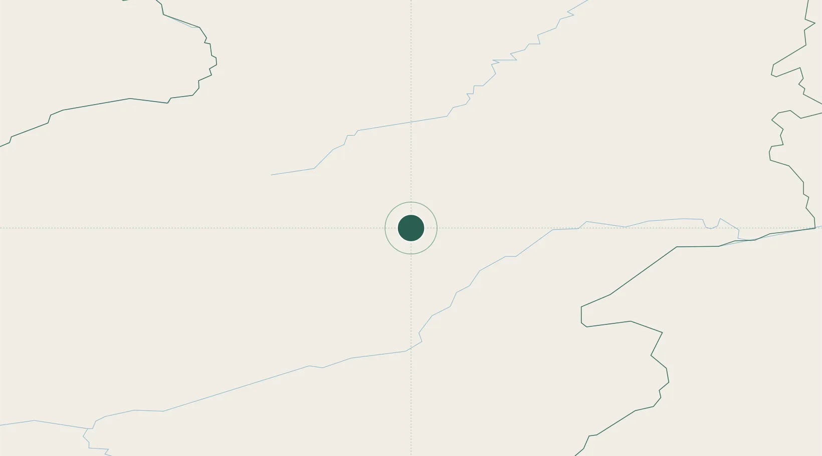
Hub Profile
Place type
Populated place
Region
Zabaykalskiy (Transbaikal) Kray
Time zone
Asia/Chita
Elevation
678 m
Location
Nearby Logistics Neighbours
Cities
- 1Shiwei254 km
- 2Mohe262 km
- 3Oelsted308 km
- 4Heishantou364 km
- 5Edberg394 km
Ports
- 1Jinzhou Wan1423 km
- 2Huludao Gang1427 km
- 3Yingkou1444 km
- 4Bayuquan1484 km
- 5Pos'yet1500 km
Airports
- 1Mohe Gulian Airport262 km
- 2Step Air Base344 km
- 3Chindant Air Base371 km
- 4Cheryomushki Air Base378 km
- 5Krasnokamensk Airport380 km
DatabookThe Record of Consolidated Knowledge
Russia beyond logistics?