UN/LOCODE hub · China
CNJLY

Luoyuanwan

26.4167°, 119.7000°
1
Transport functions

Transport Functions

Multimodal
UN/LOCODE

Hub Profile

Region
FJ
GeoNames

Location

Location of CNJLY
Natural Earth 10m (public domain) · FJ · CNJLY · 26.42, 119.70GoogleOSMYandex

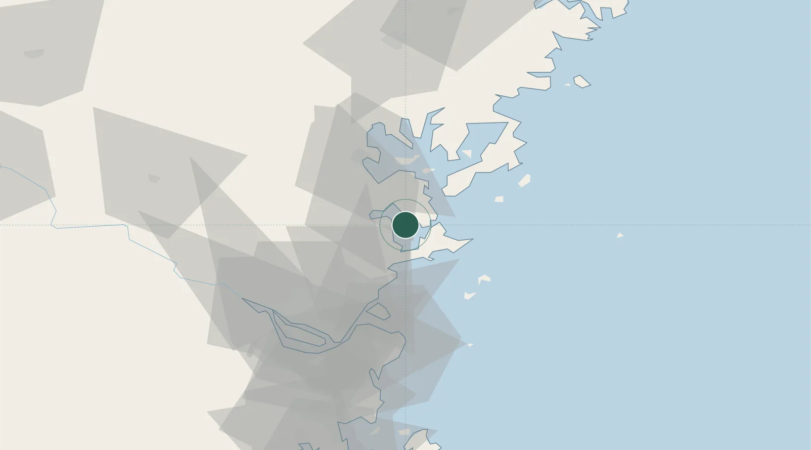
Nearby Logistics Neighbours

Cities
  1. 1Dongdaiwan22 km
  2. 2Qianyu30 km
  3. 3Shacheng32 km
  4. 4Zhangwan34 km
  5. 5Ningde36 km
Nearest neighbours — logibook spatial index (haversine) over the source coordinates
Ports
  1. 1Fuzhou55 km
  2. 2Xiuyu150 km
  3. 3Wenzhou201 km
  4. 4Quanzhou203 km
  5. 5Tan-Shui219 km
Nearest neighbours — logibook spatial index (haversine) over the source coordinates
Airports
  1. 1Matsu Beigan Airport37 km
  2. 2Matsu Nangan Airport39 km
  3. 3Fuzhou Changle International Airport54 km
  4. 4Fuzhou Air Base60 km
  5. 5Fuzhou Zhuqi Heliport67 km
Nearest neighbours — logibook spatial index (haversine) over the source coordinates
Trade Zones
  1. 1Luoyuan Bay Economic Development Zone13 km
  2. 2Sanduao Economic Development Zone29 km
  3. 3Gutian Industrial Park47 km
  4. 4Fujian Changle Economic Development Zone53 km
  5. 5Xiapu Economic Development Zone60 km
Nearest neighbours — logibook spatial index (haversine) over the source coordinates
DatabookThe Record of Consolidated Knowledge
China beyond logistics?
Browse databook

All Sources

LocationsUN/LOCODE
UN/LOCODE — free
Portsthe NGA World Port Index
Public domain (US gov)
AirportsOurAirports
Public domain
Trade Zonesthe World Bank SEZ database
CC BY 4.0
Trade ZonesOpen Zone Map
CC BY
← China locations