Medium airport · China

Fuzhou Air BaseCN-0149
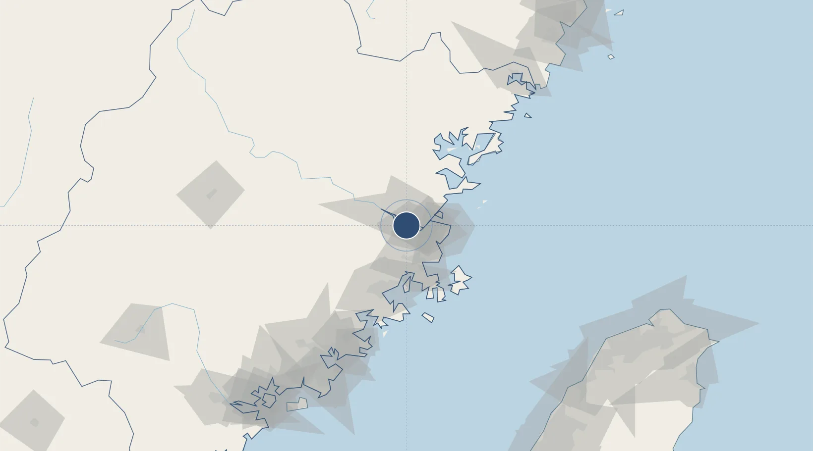
26.0039°, 119.3128°
7,874 ft
Longest runway
1
Runways
20 ft
Elevation

Runway & Layout

Fuzhou Air Base runway & taxiway layout
Runway & taxiway layout — OpenStreetMap (ODbL) / OurAirports

Runways · 1

RunwayDimensions SurfaceTrue headingLit
08/26 7,874 × 164ft Concrete 080°
OurAirports

Airport Specifications

Airport class
Medium airport
OurAirports
Scheduled service
No
OurAirports
Runway surface
Concrete
OurAirports
Served city
Fuzhou (Cangshan)
OurAirports

Location

Location of CN-0149
Natural Earth 10m (public domain) · Fujian · CN-0149 · 26.00, 119.31GoogleOSMYandex

Nearby Logistics Neighbours

Airports
  1. 1Fuzhou Zhuqi Heliport24 km
  2. 2Fuzhou Changle International Airport37 km
  3. 3Longtian Air Base50 km
  4. 4Matsu Nangan Airport67 km
  5. 5Matsu Beigan Airport73 km
Nearest neighbours — logibook spatial index (haversine) over the source coordinates
Cities
  1. 1Mawei Pt14 km
  2. 2Fuzhou15 km
  3. 3Qingpu15 km
  4. 4Taijiang21 km
  5. 5Qianyu30 km
Nearest neighbours — logibook spatial index (haversine) over the source coordinates
Ports
  1. 1Fuzhou9 km
  2. 2Xiuyu92 km
  3. 3Quanzhou144 km
  4. 4Zhangzhou188 km
  5. 5Xiamen214 km
Nearest neighbours — logibook spatial index (haversine) over the source coordinates
Trade Zones
  1. 1Jinshan Industrial Park5 km
  2. 2Qingkou Automobile Industrial Park14 km
  3. 3Fujian Changle Economic Development Zone20 km
  4. 4Fuqing Export Processing Zone56 km
  5. 5Luoyuan Bay Economic Development Zone59 km
Nearest neighbours — logibook spatial index (haversine) over the source coordinates
DatabookThe Record of Consolidated Knowledge
China beyond logistics?
Browse databook

All Sources

AirportsOurAirports
Public domain
Portsthe NGA World Port Index
Public domain (US gov)
LocationsUN/LOCODE
UN/LOCODE — free
Trade Zonesthe World Bank SEZ database
CC BY 4.0
Trade ZonesOpen Zone Map
CC BY
InfrastructureOpenStreetMap
ODbL 1.0
← China airports