Channel & Berth Profile
Pilotage, Tugs & Services
Pilotage compulsoryYES
Pilotage availableYES
Tug assistanceYES
Potable waterYES
Diesel bunkersYES
MedicalYES
Garbage disposalYES
Facilities & Capabilities
Container—
Ro-Ro—
Liquid bulk—
Dry bulk—
Oil terminal—
Break bulk—
Dry dock—
Repairs—
BunkeringYES
Rail link—
Dangerous cargo—
ISPS security—
Harbour Specifications
Harbour size
Small
Harbour type
Coastal (Natural)
Shelter
Fair
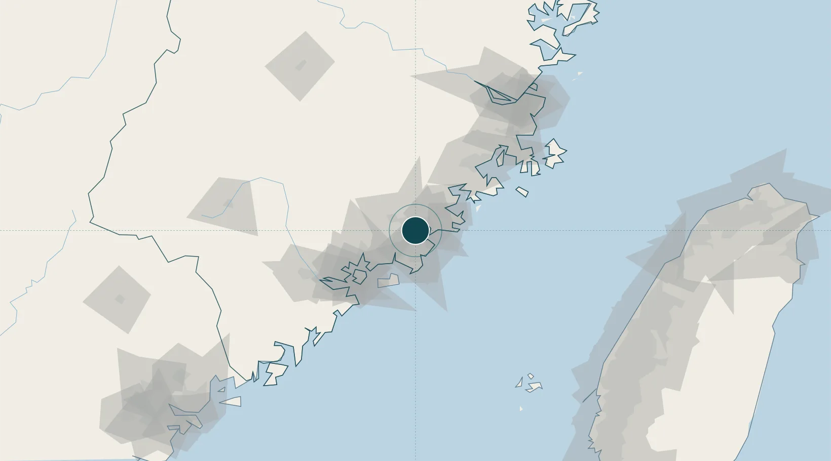
Water body
Taiwan Strait; North Pacific Ocean
Tidal range
5 m
Pilotage
Yes
Location
Container Terminals · 1
QUANZHOU SHISHI SHIHU TERMINAL
QSST QUANZHOU PACIFIC CONTAINER TERMINAL CO., LTD.
Nearby Logistics Neighbours
Cities
- 1Houzhu7 km
- 2Shishi17 km
- 3Jinjiang Dry Port20 km
- 4Xiangzhi21 km
- 5Dongshi28 km
Airports
- 1Quanzhou Jinjiang International Airport10 km
- 2Huian Air Base26 km
- 3Kinmen Airport56 km
- 4Xiamen Gaoqi International Airport61 km
- 5Longtian Air Base116 km
Trade Zones
DatabookThe Record of Consolidated Knowledge
China beyond logistics?