Medium airport · Taiwan

Matsu Beigan AirportRCMT
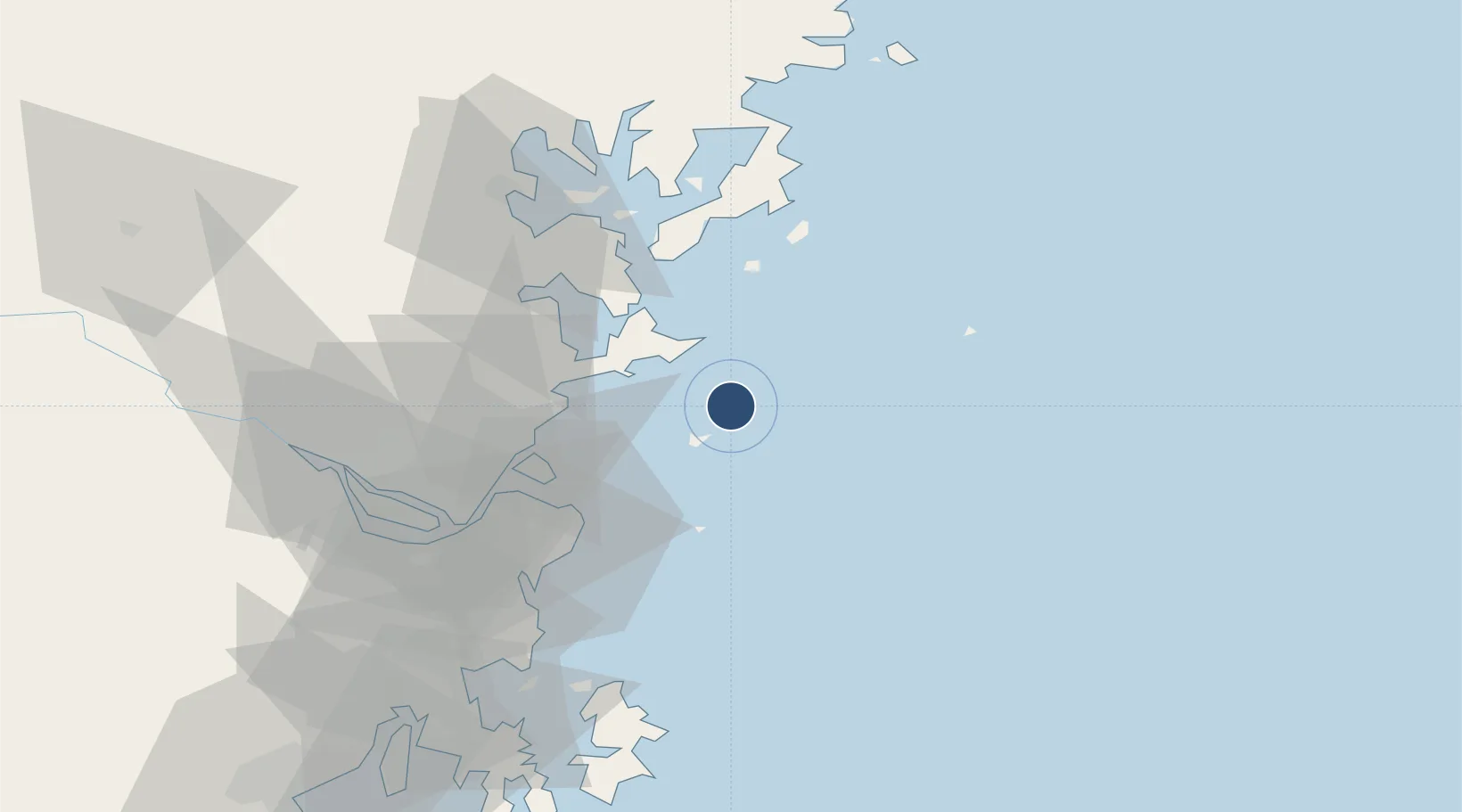
26.2242°, 120.0030°
3,773 ft
Longest runway
1
Runways
41 ft
Elevation

Runway & Layout

Matsu Beigan Airport runway & taxiway layout
Runway & taxiway layout — OpenStreetMap (ODbL) / OurAirports

Radio Frequencies

TWR
118.1 MHz
TCA
125.5 MHz
TAIPEI CON
OurAirports

Navaids

NK NDB Nangan 315 kHz
NKN DME Nangan 110.10 MHz
PK NDB Beigan 325 kHz
PKN DME Beigan 109.70 MHz
OurAirports

Runways · 1

RunwayDimensions SurfaceTrue headingLit
03/21 3,773 × 98ft Concrete 027°
OurAirports

Airport Specifications

IATA code
MFK
OurAirports
ICAO code
RCMT
OurAirports
Airport class
Medium airport
OurAirports
Scheduled service
Yes
OurAirports
Runway surface
Concrete
OurAirports
Served city
Matsu (Beigan)
OurAirports

Location

Location of RCMT
Natural Earth 10m (public domain) · Fujian · RCMT · 26.22, 120.00GoogleOSMYandex

Nearby Logistics Neighbours

Airports
  1. 1Matsu Nangan Airport8 km
  2. 2Fuzhou Changle International Airport47 km
  3. 3Fuzhou Air Base73 km
  4. 4Fuzhou Zhuqi Heliport89 km
  5. 5Longtian Air Base91 km
Nearest neighbours — logibook spatial index (haversine) over the source coordinates
Cities
  1. 1Luoyuanwan37 km
  2. 2Dongdaiwan39 km
  3. 3Qianyu49 km
  4. 4Taijiang53 km
  5. 5Mawei Pt61 km
Nearest neighbours — logibook spatial index (haversine) over the source coordinates
Ports
  1. 1Fuzhou72 km
  2. 2Xiuyu150 km
  3. 3Tan-Shui182 km
  4. 4Quanzhou205 km
  5. 5Wenzhou209 km
Nearest neighbours — logibook spatial index (haversine) over the source coordinates
Trade Zones
  1. 1Luoyuan Bay Economic Development Zone50 km
  2. 2Fujian Changle Economic Development Zone57 km
  3. 3Sanduao Economic Development Zone65 km
  4. 4Xiapu Economic Development Zone72 km
  5. 5Qingkou Automobile Industrial Park74 km
Nearest neighbours — logibook spatial index (haversine) over the source coordinates
DatabookThe Record of Consolidated Knowledge
Taiwan beyond logistics?
Browse databook

All Sources

AirportsOurAirports
Public domain
Portsthe NGA World Port Index
Public domain (US gov)
LocationsUN/LOCODE
UN/LOCODE — free
Trade Zonesthe World Bank SEZ database
CC BY 4.0
Trade ZonesOpen Zone Map
CC BY
InfrastructureOpenStreetMap
ODbL 1.0
← Taiwan airports