Export Processing Zone · China

Sanduao Economic Development Zone Active
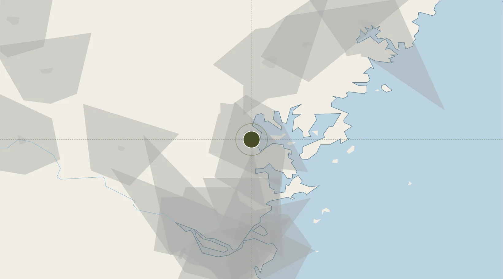
26.6414°, 119.5484°
2,380 ha
Zone area
66.8 km
Nearest port
64.8 km
Nearest airport

Gateway access

Nearest neighbours — logibook spatial index (haversine) over the source coordinates

Zone profile

Zone type
Export Processing Zone
Open Zone Map
Region
Fujian
Open Zone Map
Status
Active
Open Zone Map
Management
Public
Open Zone Map
Operator
Sanduao Economic Development Zone Management Committee
Open Zone Map
Legal framework
Unavailable
Open Zone Map

Location

Location of ozm-1370
Natural Earth 10m (public domain) · Fujian · ozm-1370 · 26.64, 119.55GoogleOSMYandex

Nearby Logistics Neighbours

Ports
  1. 1Fuzhou67 km
  2. 2Xiuyu167 km
  3. 3Wenzhou188 km
  4. 4Quanzhou217 km
  5. 5Tan-Shui246 km
Nearest neighbours — logibook spatial index (haversine) over the source coordinates
Airports
  1. 1Matsu Beigan Airport65 km
  2. 2Matsu Nangan Airport67 km
  3. 3Fuzhou Zhuqi Heliport72 km
  4. 4Fuzhou Air Base75 km
  5. 5Fuzhou Changle International Airport80 km
Nearest neighbours — logibook spatial index (haversine) over the source coordinates
Cities
  1. 1Shacheng3 km
  2. 2Zhangwan7 km
  3. 3Ningde10 km
  4. 4Luoyuanwan29 km
  5. 5Saiqi39 km
Nearest neighbours — logibook spatial index (haversine) over the source coordinates
Trade Zones
  1. 1Luoyuan Bay Economic Development Zone19 km
  2. 2Gutian Industrial Park24 km
  3. 3Fuan Economic Development Zone40 km
  4. 4Xiapu Economic Development Zone54 km
  5. 5Longtan Urban Industrial Development Zone57 km
Nearest neighbours — logibook spatial index (haversine) over the source coordinates
DatabookThe Record of Consolidated Knowledge
China beyond logistics?
Browse databook

All Sources

Trade ZonesOpen Zone Map
CC BY
Portsthe NGA World Port Index
Public domain (US gov)
AirportsOurAirports
Public domain
LocationsUN/LOCODE
UN/LOCODE — free
← China trade zones