Large airport · China

Fuzhou Changle International AirportZSFZ
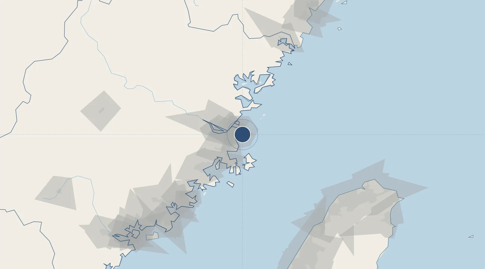
25.9293°, 119.6725°
11,841 ft
Longest runway
1
Runways
46 ft
Elevation

Runway & Layout

Fuzhou Changle International Airport runway & taxiway layout
Runway & taxiway layout — OpenStreetMap (ODbL) / OurAirports

Radio Frequencies

ATIS
126.4 MHz
TWR
118.45 MHz
FUZHOU TWR
GND
121.9 MHz
FUZHOU GND
APP
119.45 MHz
FUZHOU APP
OurAirports

Navaids

FOC VOR-DME Fuzhou 116.80 MHz
FQG VOR-DME Fuqing 117.40 MHz
LJG VOR-DME Lianjiang 117.60 MHz
OurAirports

Runways · 1

RunwayDimensions SurfaceTrue headingLit
03/21 11,841 × 150ft Concrete 030°
OurAirports

Airport Specifications

IATA code
FOC
OurAirports
ICAO code
ZSFZ
OurAirports
Airport class
Large airport
OurAirports
Scheduled service
Yes
OurAirports
Runway surface
Concrete
OurAirports
Served city
Fuzhou (Changle)
OurAirports

Location

Location of ZSFZ
Natural Earth 10m (public domain) · Fujian · ZSFZ · 25.93, 119.67GoogleOSMYandex

Nearby Logistics Neighbours

Airports
  1. 1Fuzhou Air Base37 km
  2. 2Matsu Nangan Airport38 km
  3. 3Longtian Air Base45 km
  4. 4Matsu Beigan Airport47 km
  5. 5Fuzhou Zhuqi Heliport60 km
Nearest neighbours — logibook spatial index (haversine) over the source coordinates
Cities
  1. 1Mawei Pt23 km
  2. 2Taijiang24 km
  3. 3Songxia Pt29 km
  4. 4Qingpu29 km
  5. 5Fuzhou30 km
Nearest neighbours — logibook spatial index (haversine) over the source coordinates
Ports
  1. 1Fuzhou41 km
  2. 2Xiuyu104 km
  3. 3Quanzhou159 km
  4. 4Tan-Shui192 km
  5. 5Tai-Chung Kang199 km
Nearest neighbours — logibook spatial index (haversine) over the source coordinates
Trade Zones
  1. 1Fujian Changle Economic Development Zone17 km
  2. 2Qingkou Automobile Industrial Park31 km
  3. 3Jinshan Industrial Park42 km
  4. 4Luoyuan Bay Economic Development Zone62 km
  5. 5Fuqing Export Processing Zone63 km
Nearest neighbours — logibook spatial index (haversine) over the source coordinates
DatabookThe Record of Consolidated Knowledge
China beyond logistics?
Browse databook

All Sources

AirportsOurAirports
Public domain
Portsthe NGA World Port Index
Public domain (US gov)
LocationsUN/LOCODE
UN/LOCODE — free
Trade Zonesthe World Bank SEZ database
CC BY 4.0
Trade ZonesOpen Zone Map
CC BY
InfrastructureOpenStreetMap
ODbL 1.0
← China airports