Transport Functions
Port
Hub Profile
Place type
Populated place
Region
Fujian
Time zone
Asia/Shanghai
Elevation
12 m
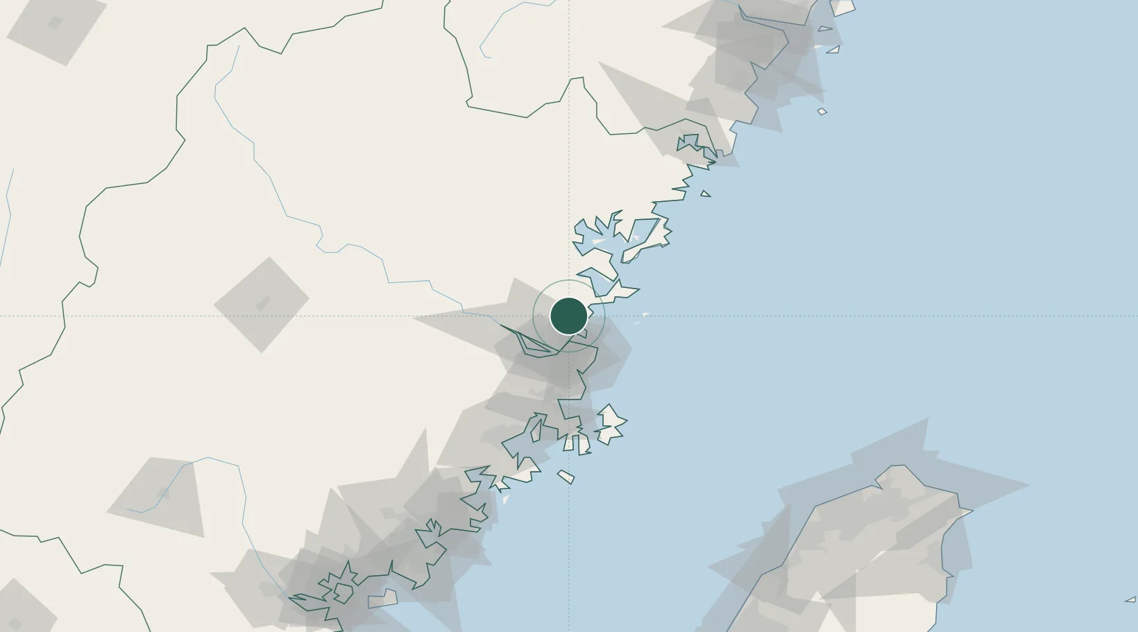
Location
Nearby Logistics Neighbours
Cities
- 1Dongdaiwan11 km
- 2Taijiang13 km
- 3Mawei Pt25 km
- 4Luoyuanwan30 km
- 5Qingpu38 km
Airports
- 1Fuzhou Air Base30 km
- 2Fuzhou Changle International Airport34 km
- 3Fuzhou Zhuqi Heliport41 km
- 4Matsu Nangan Airport44 km
- 5Matsu Beigan Airport49 km
DatabookThe Record of Consolidated Knowledge
China beyond logistics?