Transport Functions
Port
Hub Profile
Place type
Populated place
Region
Fujian
Time zone
Asia/Shanghai
Elevation
31 m
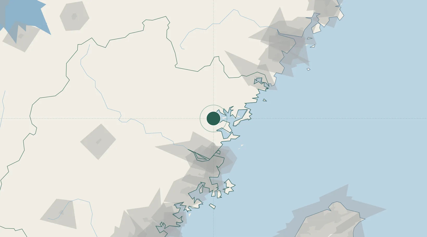
Location
Nearby Logistics Neighbours
Cities
- 1Zhangwan9 km
- 2Ningde10 km
- 3Luoyuanwan32 km
- 4Saiqi39 km
- 5Dongdaiwan47 km
Airports
- 1Matsu Beigan Airport68 km
- 2Matsu Nangan Airport70 km
- 3Fuzhou Zhuqi Heliport71 km
- 4Fuzhou Air Base75 km
- 5Fuzhou Changle International Airport82 km
DatabookThe Record of Consolidated Knowledge
China beyond logistics?