UN/LOCODE hub · China
CNDDW

Dongdaiwan

26.2333°, 119.6167°
1
Transport functions

Transport Functions

Port
UN/LOCODE

Hub Profile

Region
FJ
GeoNames

Location

Location of CNDDW
Natural Earth 10m (public domain) · FJ · CNDDW · 26.23, 119.62GoogleOSMYandex

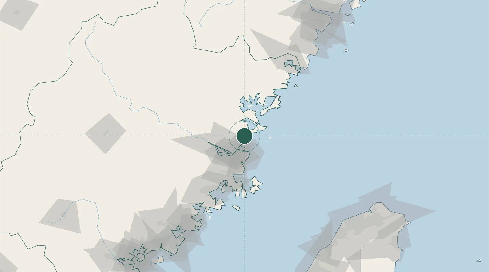
Nearby Logistics Neighbours

Cities
  1. 1Qianyu11 km
  2. 2Taijiang20 km
  3. 3Luoyuanwan22 km
  4. 4Mawei Pt32 km
  5. 5Qingpu45 km
Nearest neighbours — logibook spatial index (haversine) over the source coordinates
Ports
  1. 1Fuzhou36 km
  2. 2Xiuyu128 km
  3. 3Quanzhou182 km
  4. 4Tan-Shui213 km
  5. 5Wenzhou223 km
Nearest neighbours — logibook spatial index (haversine) over the source coordinates
Airports
  1. 1Fuzhou Changle International Airport34 km
  2. 2Matsu Nangan Airport35 km
  3. 3Matsu Beigan Airport39 km
  4. 4Fuzhou Air Base40 km
  5. 5Fuzhou Zhuqi Heliport52 km
Nearest neighbours — logibook spatial index (haversine) over the source coordinates
Trade Zones
  1. 1Luoyuan Bay Economic Development Zone27 km
  2. 2Fujian Changle Economic Development Zone31 km
  3. 3Jinshan Industrial Park42 km
  4. 4Qingkou Automobile Industrial Park46 km
  5. 5Sanduao Economic Development Zone46 km
Nearest neighbours — logibook spatial index (haversine) over the source coordinates
DatabookThe Record of Consolidated Knowledge
China beyond logistics?
Browse databook

All Sources

LocationsUN/LOCODE
UN/LOCODE — free
Portsthe NGA World Port Index
Public domain (US gov)
AirportsOurAirports
Public domain
Trade Zonesthe World Bank SEZ database
CC BY 4.0
Trade ZonesOpen Zone Map
CC BY
← China locations