Diversified Zone · China

Luoyuan Bay Economic Development Zone Active
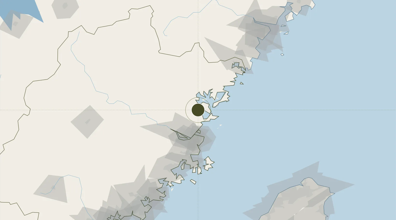
26.4784°, 119.5845°
3,146 ha
Zone area
52.3 km
Nearest port
50.4 km
Nearest airport

Gateway access

Nearest neighbours — logibook spatial index (haversine) over the source coordinates

Zone profile

Zone type
Diversified Zone
Open Zone Map
Region
Fujian
Open Zone Map
Status
Active
Open Zone Map
Management
Public
Open Zone Map
Operator
Management Committee of Luoyuan Bay Economic Development Zone
Open Zone Map
Legal framework
Luoyuanwan Economic Development Zone was established in 1992. It was approved to be a provincial development zone by Fujian Provincial government in March 1998.
Open Zone Map

Location

Location of ozm-892
Natural Earth 10m (public domain) · Fujian · ozm-892 · 26.48, 119.58GoogleOSMYandex

Nearby Logistics Neighbours

Ports
  1. 1Fuzhou52 km
  2. 2Xiuyu151 km
  3. 3Wenzhou201 km
  4. 4Quanzhou203 km
  5. 5Tan-Shui232 km
Nearest neighbours — logibook spatial index (haversine) over the source coordinates
Airports
  1. 1Matsu Beigan Airport50 km
  2. 2Matsu Nangan Airport51 km
  3. 3Fuzhou Air Base59 km
  4. 4Fuzhou Zhuqi Heliport61 km
  5. 5Fuzhou Changle International Airport62 km
Nearest neighbours — logibook spatial index (haversine) over the source coordinates
Cities
  1. 1Luoyuanwan13 km
  2. 2Shacheng20 km
  3. 3Zhangwan25 km
  4. 4Ningde27 km
  5. 5Dongdaiwan27 km
Nearest neighbours — logibook spatial index (haversine) over the source coordinates
Trade Zones
  1. 1Sanduao Economic Development Zone19 km
  2. 2Gutian Industrial Park34 km
  3. 3Fuan Economic Development Zone56 km
  4. 4Fujian Changle Economic Development Zone57 km
  5. 5Jinshan Industrial Park59 km
Nearest neighbours — logibook spatial index (haversine) over the source coordinates
DatabookThe Record of Consolidated Knowledge
China beyond logistics?
Browse databook

All Sources

Trade ZonesOpen Zone Map
CC BY
Portsthe NGA World Port Index
Public domain (US gov)
AirportsOurAirports
Public domain
LocationsUN/LOCODE
UN/LOCODE — free
← China trade zones