Export Processing Zone · China

Xiapu Economic Development Zone Active
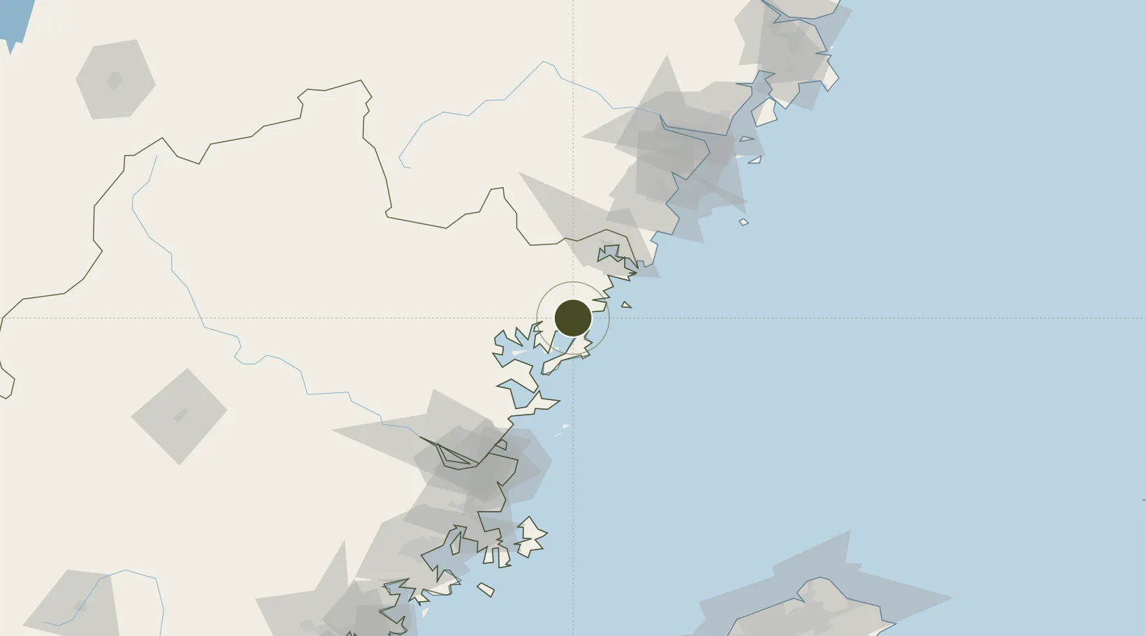
26.8711°, 120.0315°
362 ha
Zone area
113.9 km
Nearest port
72.0 km
Nearest airport

Gateway access

Nearest neighbours — logibook spatial index (haversine) over the source coordinates

Zone profile

Zone type
Export Processing Zone
Open Zone Map
Region
Fujian
Open Zone Map
Status
Active
Open Zone Map
Management
Public
Open Zone Map
Operator
Working Committee of Xiapu Economic Development Zone
Open Zone Map
Legal framework
Master Plan of Xiapu County's Land Space (2020-2035)
Open Zone Map

Location

Location of ozm-1110
Natural Earth 10m (public domain) · Fujian · ozm-1110 · 26.87, 120.03GoogleOSMYandex

Nearby Logistics Neighbours

Ports
  1. 1Fuzhou114 km
  2. 2Wenzhou141 km
  3. 3Xiuyu210 km
  4. 4Tan-Shui232 km
  5. 5Haimen245 km
Nearest neighbours — logibook spatial index (haversine) over the source coordinates
Airports
  1. 1Matsu Beigan Airport72 km
  2. 2Matsu Nangan Airport79 km
  3. 3Fuzhou Changle International Airport111 km
  4. 4Fuzhou Air Base120 km
  5. 5Fuzhou Zhuqi Heliport123 km
Nearest neighbours — logibook spatial index (haversine) over the source coordinates
Cities
  1. 1Sansha20 km
  2. 2Saiqi36 km
  3. 3Haitian Terminal/ Xiamen37 km
  4. 4Xiangyu Terminal/ Xiamen38 km
  5. 5Ningde48 km
Nearest neighbours — logibook spatial index (haversine) over the source coordinates
Trade Zones
  1. 1Fuan Economic Development Zone37 km
  2. 2Zherong Economic Development Zone43 km
  3. 3Fuding Industrial Park51 km
  4. 4Sanduao Economic Development Zone54 km
  5. 5Luoyuan Bay Economic Development Zone62 km
Nearest neighbours — logibook spatial index (haversine) over the source coordinates
DatabookThe Record of Consolidated Knowledge
China beyond logistics?
Browse databook

All Sources

Trade ZonesOpen Zone Map
CC BY
Portsthe NGA World Port Index
Public domain (US gov)
AirportsOurAirports
Public domain
LocationsUN/LOCODE
UN/LOCODE — free
← China trade zones