Channel & Berth Profile
Pilotage, Tugs & Services
Pilotage compulsoryYES
Pilotage availableYES
Pilotage advisableYES
Local assistanceYES
Tug assistanceYES
Potable waterYES
Diesel bunkersYES
MedicalYES
Facilities & Capabilities
Container—
Ro-Ro—
Liquid bulk—
Dry bulk—
Oil terminal—
Break bulk—
Dry dockNO
RepairsNO
Bunkering—
Rail link—
Dangerous cargo—
ISPS security—
Harbour Specifications
Harbour size
Medium
Harbour type
River (Natural)
Shelter
Good
Water body
East China Sea; North Pacific Ocean
Tidal range
6.5 m
Pilotage
Yes
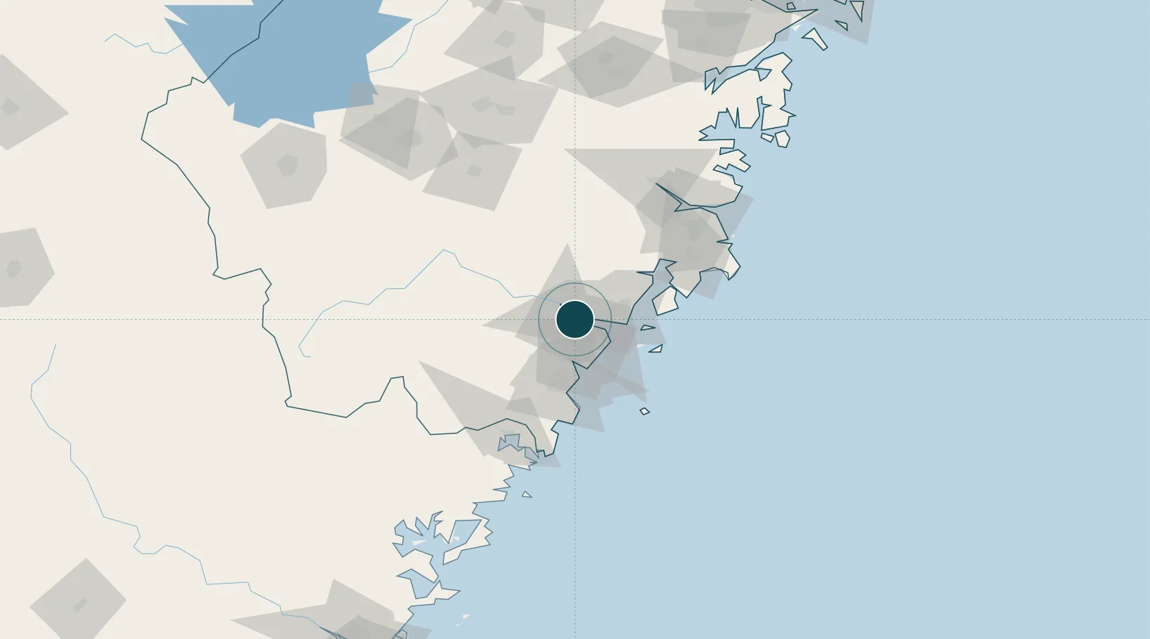
Location
Nearby Logistics Neighbours
Cities
- 1Yongjia15 km
- 2Wenzhou22 km
- 3Zhuangyuanao48 km
- 4Damaiyu50 km
- 5Aojiang Pt52 km
Airports
- 1Wenzhou Longwan International Airport23 km
- 2Taizhou Luqiao Airport98 km
- 3Yiwu Airport159 km
- 4Quzhou Airport201 km
- 5Jiande Qiandaohu General Airport207 km
DatabookThe Record of Consolidated Knowledge
China beyond logistics?