Seaport · Taiwan
Tan-ShuiTWTPE
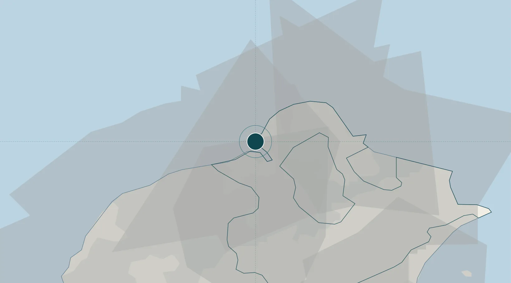
25.1833°, 121.4000°
16.0 m
Channel depth
1
Container terminals
278.1
Port liner connectivity
Channel & Berth Profile
Pilotage, Tugs & Services
Pilotage compulsoryYES
Pilotage availableYES
Pilotage advisableYES
Local assistanceYES
Tug assistanceYES
Salvage tugsYES
Shore powerYES
MedicalYES
Garbage disposalYES
Facilities & Capabilities
ContainerYES
Ro-Ro—
Liquid bulkYES
Dry bulkYES
Oil terminalYES
Break bulkYES
Dry dock—
RepairsNO
BunkeringYES
Rail linkYES
Dangerous cargo—
ISPS security—
Harbour Specifications
Harbour size
Large
Harbour type
River (Natural)
Shelter
Excellent
Water body
East China Sea; North Pacific Ocean
Tidal range
2.1 m
Overhead limit
Yes
Pilotage
Yes
Liner Connectivity
278.1
PLSCI
Port Liner Shipping Connectivity Index for Tan-Shui, as published by UNCTAD for the latest available quarter. Higher values indicate stronger scheduled liner-shipping integration.
Shown relative to the highest per-port PLSCI in the dataset (1,657.9).
Location
Container Terminals · 1
TAIPEI PORT CONTAINER TERMINAL
TPCT TAIWAN INTERNATIONAL PORTS CORP., LTD. (TIPC)
Nearby Logistics Neighbours
Ports
- 1Chi-Lung37 km
- 2Su-Ao80 km
- 3Tai-Chung Kang134 km
- 4Hua-Lien Kang135 km
- 5Mailiao200 km
Airports
DatabookThe Record of Consolidated Knowledge
Taiwan beyond logistics?