Seaport · China

FuzhouCNFZH

26.0833°, 119.3000°
9.5 m
Channel depth
2
Container terminals
Fuzhou is also a UN/LOCODE logistics hub →

Channel & Berth Profile

SEA LEVEL (CD)CHANNEL BEDChannel · 9.5 mAnchorage · 11.0 mCargo pier · 11.0 mOil terminal · 11.0 m
NGA World Port Index

Pilotage, Tugs & Services

Pilotage compulsoryYES
Pilotage availableYES
Pilotage advisableYES
Tug assistanceYES
Potable waterYES
MedicalYES
NGA World Port Index

Facilities & Capabilities

Container
Ro-Ro
Liquid bulk
Dry bulk
Oil terminal
Break bulk
Dry dock
RepairsNO
BunkeringYES
Rail linkYES
Dangerous cargo
ISPS security
NGA World Port Index

Harbour Specifications
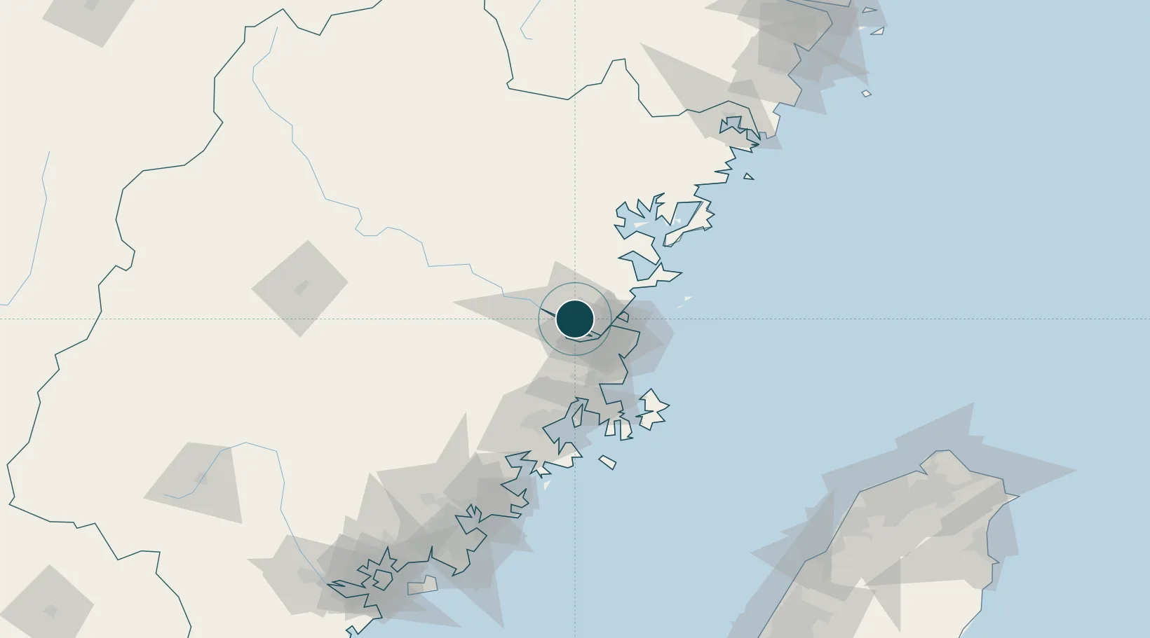
Harbour size
Very Small
NGA World Port Index
Harbour type
River (Natural)
NGA World Port Index
Shelter
Good
NGA World Port Index
Water body
East China Sea; North Pacific Ocean
NGA World Port Index
Tidal range
6.5 m
NGA World Port Index
Overhead limit
No
NGA World Port Index
Pilotage
Yes
NGA World Port Index

Location

Location of CNFZH
Natural Earth 10m (public domain) · Fujian · CNFZH · 26.08, 119.30GoogleOSMYandex

Container Terminals · 2

FUZHOU INTERNATIONAL CONTAINER TERMINAL
FICT
FUZHOU QINGZHOU CONTAINER TERMINAL
FMP FUZHOU QINGZHOU CONTAINER TERMINAL CO., LTD
SMDG Terminal Code List

Nearby Logistics Neighbours

Ports
  1. 1Xiuyu100 km
  2. 2Quanzhou151 km
  3. 3Zhangzhou194 km
  4. 4Xiamen220 km
  5. 5Tai-Chung Kang232 km
Nearest neighbours — logibook spatial index (haversine) over the source coordinates
Cities
  1. 1Mawei Pt19 km
  2. 2Taijiang20 km
  3. 3Qingpu24 km
  4. 4Qianyu25 km
  5. 5Dongdaiwan36 km
Nearest neighbours — logibook spatial index (haversine) over the source coordinates
Airports
  1. 1Fuzhou Air Base9 km
  2. 2Fuzhou Zhuqi Heliport19 km
  3. 3Fuzhou Changle International Airport41 km
  4. 4Longtian Air Base59 km
  5. 5Matsu Nangan Airport66 km
Nearest neighbours — logibook spatial index (haversine) over the source coordinates
Trade Zones
  1. 1Jinshan Industrial Park7 km
  2. 2Qingkou Automobile Industrial Park23 km
  3. 3Fujian Changle Economic Development Zone24 km
  4. 4Luoyuan Bay Economic Development Zone52 km
  5. 5Gutian Industrial Park63 km
Nearest neighbours — logibook spatial index (haversine) over the source coordinates
DatabookThe Record of Consolidated Knowledge
China beyond logistics?
Browse databook

All Sources

Portsthe NGA World Port Index
Public domain (US gov)
Portsthe SMDG Terminal Code List
UN/LOCODE — free, attribution
AirportsOurAirports
Public domain
LocationsUN/LOCODE
UN/LOCODE — free
Trade Zonesthe World Bank SEZ database
CC BY 4.0
Trade ZonesOpen Zone Map
CC BY
← China ports