Export Processing Zone · China

Gutian Industrial Park Active
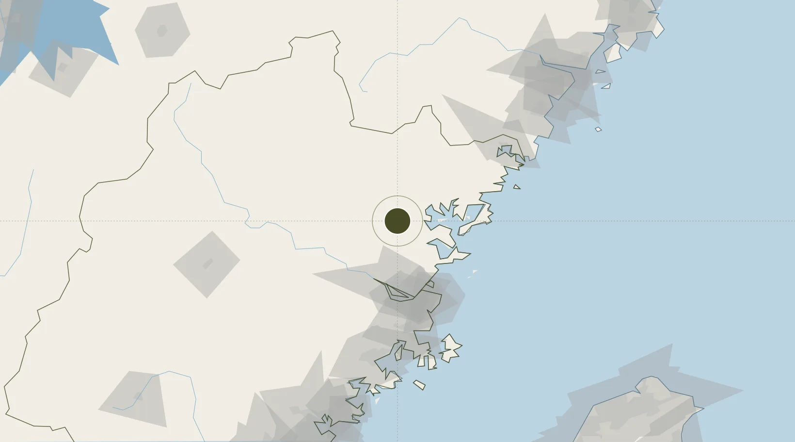
26.6520°, 119.3057°
471 ha
Zone area
63.2 km
Nearest port
61.7 km
Nearest airport

Gateway access

Nearest neighbours — logibook spatial index (haversine) over the source coordinates

Zone profile

Zone type
Export Processing Zone
Open Zone Map
Region
Fujian
Open Zone Map
Status
Active
Open Zone Map
Management
Public
Open Zone Map
Operator
Gutian Industrial Park Management Committee
Open Zone Map
Legal framework
approved by Fujian Municipal Government
Open Zone Map

Location

Location of ozm-1157
Natural Earth 10m (public domain) · Fujian · ozm-1157 · 26.65, 119.31GoogleOSMYandex

Nearby Logistics Neighbours

Ports
  1. 1Fuzhou63 km
  2. 2Xiuyu161 km
  3. 3Wenzhou202 km
  4. 4Quanzhou209 km
  5. 5Zhangzhou248 km
Nearest neighbours — logibook spatial index (haversine) over the source coordinates
Airports
  1. 1Fuzhou Zhuqi Heliport62 km
  2. 2Fuzhou Air Base72 km
  3. 3Matsu Beigan Airport84 km
  4. 4Matsu Nangan Airport85 km
  5. 5Fuzhou Changle International Airport88 km
Nearest neighbours — logibook spatial index (haversine) over the source coordinates
Cities
  1. 1Shacheng21 km
  2. 2Zhangwan28 km
  3. 3Ningde29 km
  4. 4Luoyuanwan47 km
  5. 5Saiqi51 km
Nearest neighbours — logibook spatial index (haversine) over the source coordinates
Trade Zones
  1. 1Sanduao Economic Development Zone24 km
  2. 2Luoyuan Bay Economic Development Zone34 km
  3. 3Pingnan Industrial Park44 km
  4. 4Longtan Urban Industrial Development Zone51 km
  5. 5Fuan Economic Development Zone52 km
Nearest neighbours — logibook spatial index (haversine) over the source coordinates
DatabookThe Record of Consolidated Knowledge
China beyond logistics?
Browse databook

All Sources

Trade ZonesOpen Zone Map
CC BY
Portsthe NGA World Port Index
Public domain (US gov)
AirportsOurAirports
Public domain
LocationsUN/LOCODE
UN/LOCODE — free
← China trade zones