Medium airport · Taiwan

Matsu Nangan AirportRCFG
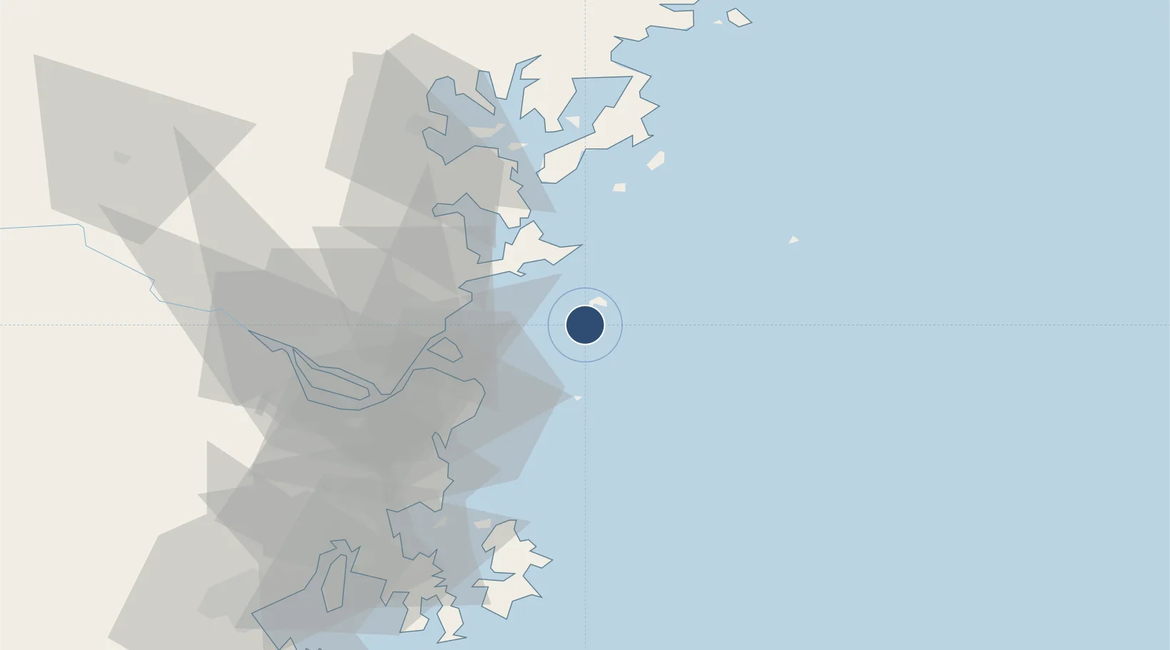
26.1597°, 119.9584°
5,180 ft
Longest runway
1
Runways
232 ft
Elevation

Runway & Layout

Matsu Nangan Airport runway & taxiway layout
Runway & taxiway layout — OpenStreetMap (ODbL) / OurAirports

Radio Frequencies

TWR
118.55 MHz
TCA
125.5 MHz
TAIPEI CON
OurAirports

Runways · 1

RunwayDimensions SurfaceTrue headingLit
03/21 5,180 × 98ft Concrete 026°
OurAirports

Airport Specifications

IATA code
LZN
OurAirports
ICAO code
RCFG
OurAirports
Airport class
Medium airport
OurAirports
Scheduled service
Yes
OurAirports
Runway surface
Concrete
OurAirports
Served city
Matsu (Nangan)
OurAirports

Location

Location of RCFG
Natural Earth 10m (public domain) · Fujian · RCFG · 26.16, 119.96GoogleOSMYandex

Nearby Logistics Neighbours

Airports
  1. 1Matsu Beigan Airport8 km
  2. 2Fuzhou Changle International Airport38 km
  3. 3Fuzhou Air Base67 km
  4. 4Longtian Air Base82 km
  5. 5Fuzhou Zhuqi Heliport84 km
Nearest neighbours — logibook spatial index (haversine) over the source coordinates
Cities
  1. 1Dongdaiwan35 km
  2. 2Luoyuanwan39 km
  3. 3Qianyu44 km
  4. 4Taijiang47 km
  5. 5Mawei Pt54 km
Nearest neighbours — logibook spatial index (haversine) over the source coordinates
Ports
  1. 1Fuzhou66 km
  2. 2Xiuyu142 km
  3. 3Tan-Shui181 km
  4. 4Quanzhou197 km
  5. 5Tai-Chung Kang214 km
Nearest neighbours — logibook spatial index (haversine) over the source coordinates
Trade Zones
  1. 1Fujian Changle Economic Development Zone49 km
  2. 2Luoyuan Bay Economic Development Zone51 km
  3. 3Qingkou Automobile Industrial Park66 km
  4. 4Sanduao Economic Development Zone67 km
  5. 5Jinshan Industrial Park71 km
Nearest neighbours — logibook spatial index (haversine) over the source coordinates
DatabookThe Record of Consolidated Knowledge
Taiwan beyond logistics?
Browse databook

All Sources

AirportsOurAirports
Public domain
Portsthe NGA World Port Index
Public domain (US gov)
LocationsUN/LOCODE
UN/LOCODE — free
Trade Zonesthe World Bank SEZ database
CC BY 4.0
Trade ZonesOpen Zone Map
CC BY
InfrastructureOpenStreetMap
ODbL 1.0
← Taiwan airports