Runway & Layout

Airport Specifications
Airport class
Heliport
Scheduled service
Yes
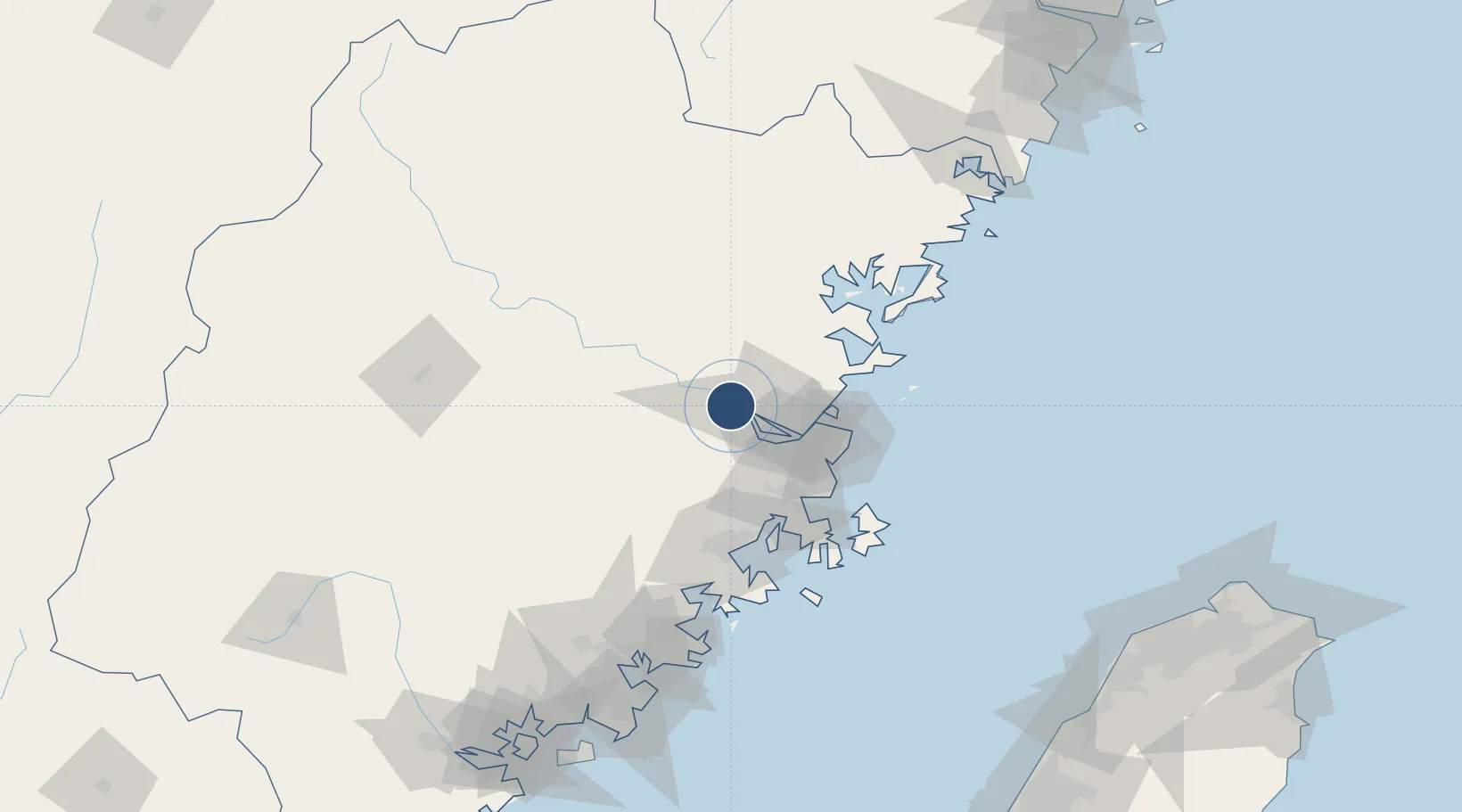
Served city
Fuzhou (Minhou)
Location
Nearby Logistics Neighbours
Airports
- 1Fuzhou Air Base24 km
- 2Fuzhou Changle International Airport60 km
- 3Longtian Air Base70 km
- 4Matsu Nangan Airport84 km
- 5Matsu Beigan Airport89 km
Trade Zones
DatabookThe Record of Consolidated Knowledge
China beyond logistics?