Transport Functions
Rail
Road
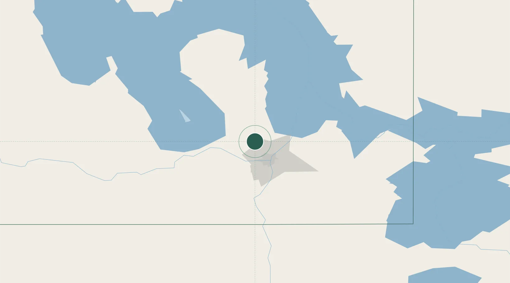
Hub Profile
Place type
Populated place
Region
Manitoba
Population
4,177
Time zone
America/Winnipeg
Elevation
256 m
Location
Nearby Logistics Neighbours
Cities
- 1Rosser19 km
- 2Gunton21 km
- 3East Saint-Paul28 km
- 4Lockport28 km
- 5Teulon28 km
Ports
- 1Duluth537 km
- 2Superior542 km
- 3Two Harbors543 km
- 4Grand Marais576 km
- 5Bayfield606 km
Airports
Trade Zones
- 1Winnipegs Centreport Canada30 km
- 2FTZ No. 103 Grand Forks247 km
- 3FTZ No. 259 Koochiching County301 km
- 4FTZ No. 267 Fargo366 km
- 5Global Transportation Hub Authority528 km
DatabookThe Record of Consolidated Knowledge
Canada beyond logistics?