UN/LOCODE hub · Canada
CATEU

Teulon

50.3833°, -97.2667°
2
Transport functions

Transport Functions

Rail
Road
UN/LOCODE

Hub Profile

Place type
Populated place
GeoNames
Region
Manitoba
GeoNames
Time zone
America/Winnipeg
GeoNames
Elevation
264 m
GeoNames

Location

Location of CATEU
Natural Earth 10m (public domain) · Manitoba · CATEU · 50.38, -97.27GoogleOSMYandex

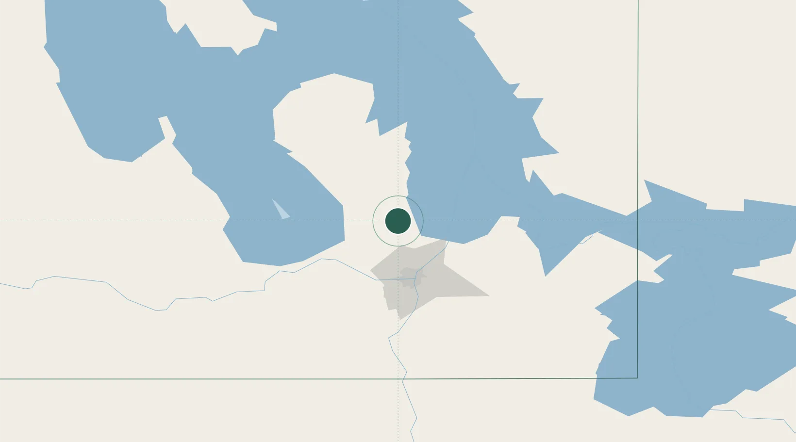
Nearby Logistics Neighbours

Cities
  1. 1Gunton7 km
  2. 2Petersfield23 km
  3. 3Stonewall28 km
  4. 4Lockport40 km
  5. 5Libau41 km
Nearest neighbours — logibook spatial index (haversine) over the source coordinates
Ports
  1. 1Duluth553 km
  2. 2Two Harbors557 km
  3. 3Superior558 km
  4. 4Grand Marais584 km
  5. 5Bayfield619 km
Nearest neighbours — logibook spatial index (haversine) over the source coordinates
Airports
  1. 1Gimli Industrial Park Airport32 km
  2. 2Winnipeg / St. Andrews Airport40 km
  3. 3Winnipeg / James Armstrong Richardson International Airport53 km
  4. 4Portage-la-Prairie / Southport Airport90 km
  5. 5Lac du Bonnet Airport90 km
Nearest neighbours — logibook spatial index (haversine) over the source coordinates
Trade Zones
  1. 1Winnipegs Centreport Canada55 km
  2. 2FTZ No. 103 Grand Forks275 km
  3. 3FTZ No. 259 Koochiching County317 km
  4. 4FTZ No. 267 Fargo393 km
  5. 5Global Transportation Hub Authority530 km
Nearest neighbours — logibook spatial index (haversine) over the source coordinates
DatabookThe Record of Consolidated Knowledge
Canada beyond logistics?
Browse databook

All Sources

LocationsUN/LOCODE
UN/LOCODE — free
Portsthe NGA World Port Index
Public domain (US gov)
AirportsOurAirports
Public domain
Trade Zonesthe World Bank SEZ database
CC BY 4.0
Trade ZonesOpen Zone Map
CC BY
← Canada locations