Transport Functions
Rail
Road
Hub Profile
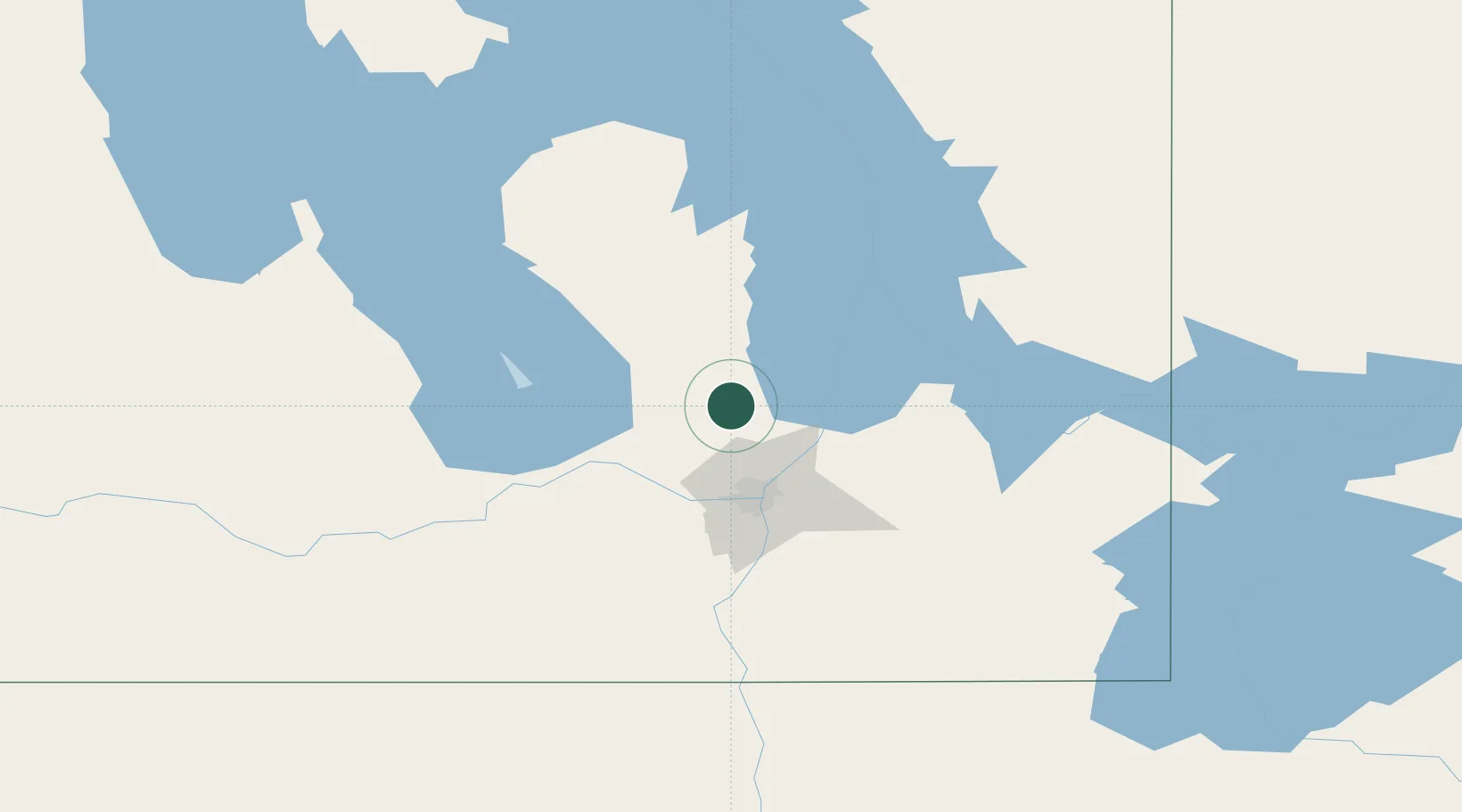
Region
MB
Location
Nearby Logistics Neighbours
Cities
- 1Teulon7 km
- 2Stonewall21 km
- 3Petersfield21 km
- 4Lockport34 km
- 5Rosser39 km
Ports
- 1Duluth548 km
- 2Two Harbors552 km
- 3Superior552 km
- 4Grand Marais580 km
- 5Bayfield615 km
Airports
Trade Zones
- 1Winnipegs Centreport Canada48 km
- 2FTZ No. 103 Grand Forks267 km
- 3FTZ No. 259 Koochiching County312 km
- 4FTZ No. 267 Fargo386 km
- 5Global Transportation Hub Authority531 km
DatabookThe Record of Consolidated Knowledge
Canada beyond logistics?