UN/LOCODE hub · Canada
CARTB

Robert's Bank

49.0667°, -123.1667°
2
Transport functions

Transport Functions

Port
Road
UN/LOCODE

Hub Profile

Region
BC
GeoNames

Location

Location of CARTB
Natural Earth 10m (public domain) · BC · CARTB · 49.07, -123.17GoogleOSMYandex

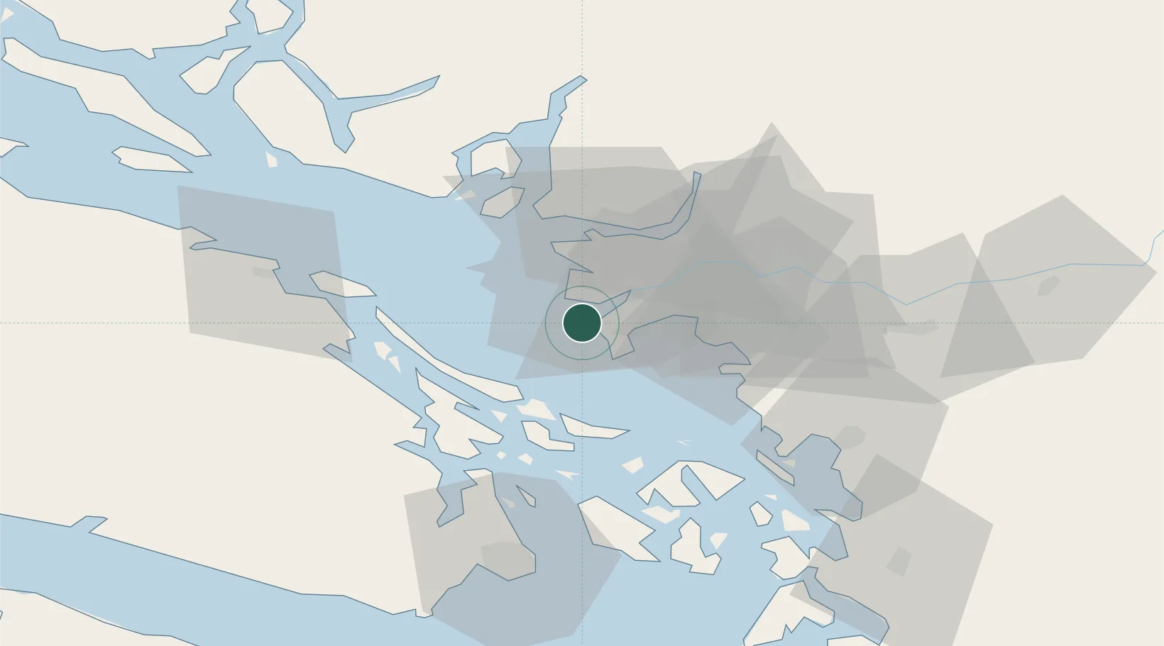
Nearby Logistics Neighbours

Cities
  1. 1Thawwassen10 km
  2. 2Delta11 km
  3. 3Point Roberts12 km
  4. 4Vancouver19 km
  5. 5New Westminster20 km
Nearest neighbours — logibook spatial index (haversine) over the source coordinates
Ports
  1. 1Steveston8 km
  2. 2New Westminster24 km
  3. 3Vancouver24 km
  4. 4Fraser Mills29 km
  5. 5Lyall Harbor30 km
Nearest neighbours — logibook spatial index (haversine) over the source coordinates
Airports
  1. 1Boundary Bay Airport12 km
  2. 2Point Roberts Airpark12 km
  3. 3Vancouver International Seaplane Base12 km
  4. 4Vancouver International Airport14 km
  5. 5Harbour (Public) Heliport25 km
Nearest neighbours — logibook spatial index (haversine) over the source coordinates
Trade Zones
  1. 1FTZ Vancouver Island20 km
  2. 2FTZ No. 128 Whatcom County53 km
  3. 3FTZ No. 129 Bellingham58 km
  4. 4FTZ No. 085 Everett137 km
  5. 5FTZ No. 005 Seattle169 km
Nearest neighbours — logibook spatial index (haversine) over the source coordinates
DatabookThe Record of Consolidated Knowledge
Canada beyond logistics?
Browse databook

All Sources

LocationsUN/LOCODE
UN/LOCODE — free
Portsthe NGA World Port Index
Public domain (US gov)
AirportsOurAirports
Public domain
Trade Zonesthe World Bank SEZ database
CC BY 4.0
Trade ZonesOpen Zone Map
CC BY
← Canada locations