Runway & Layout

Airport Specifications
IATA code
YAV
Airport class
Seaplane base
Scheduled service
Yes
Served city
Miners Bay
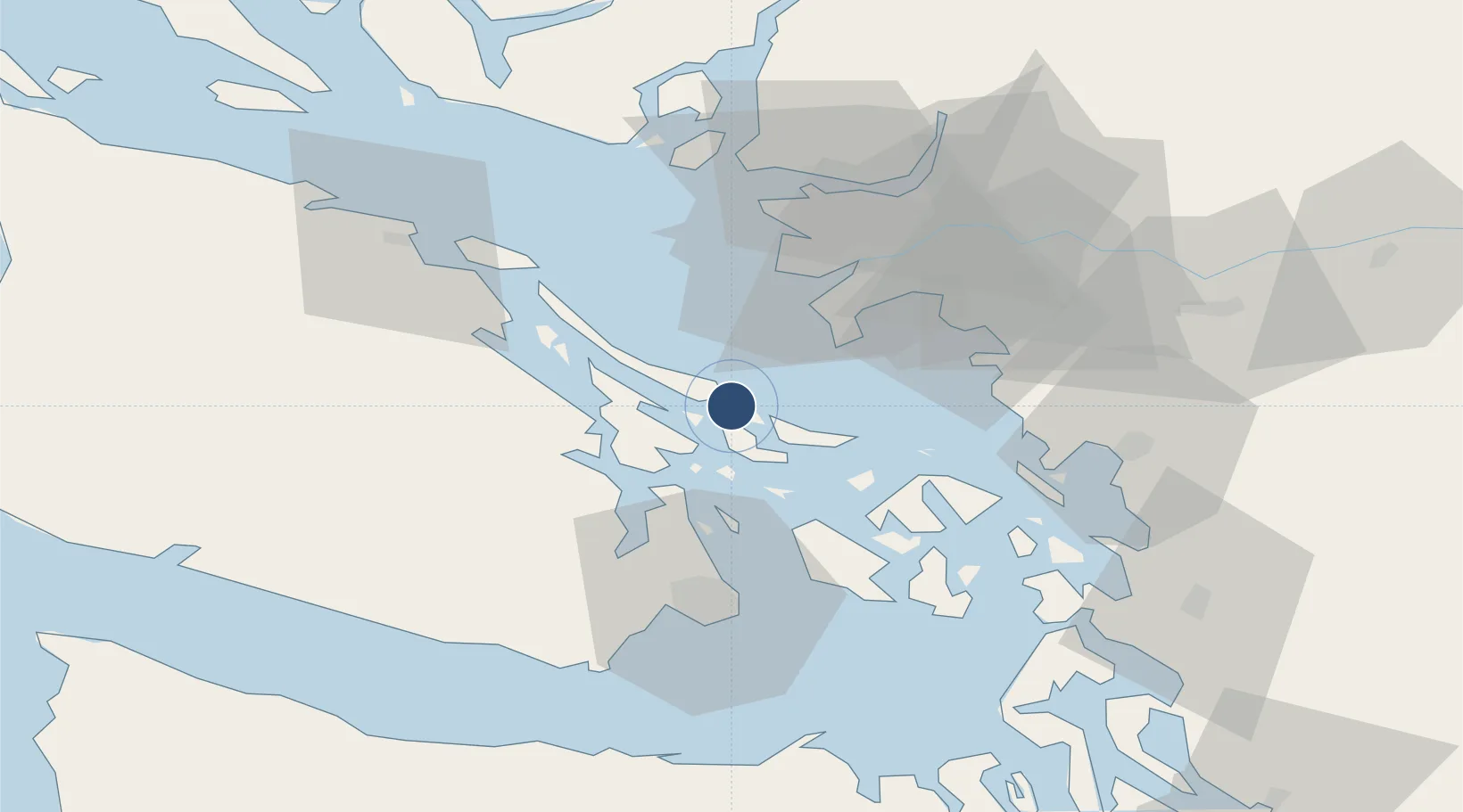
Location
Nearby Logistics Neighbours
Airports
Cities
- 1Point Roberts23 km
- 2Thawwassen24 km
- 3Robert's Bank26 km
- 4Mengkofen27 km
- 5Cobble Hill29 km
Ports
- 1Lyall Harbor10 km
- 2Ganges13 km
- 3Sidney23 km
- 4Crofton24 km
- 5Cowichan Bay26 km
Trade Zones
- 1FTZ Vancouver Island46 km
- 2FTZ No. 128 Whatcom County55 km
- 3FTZ No. 129 Bellingham58 km
- 4FTZ No. 085 Everett124 km
- 5FTZ No. 005 Seattle151 km
DatabookThe Record of Consolidated Knowledge
Canada beyond logistics?