UN/LOCODE hub · Canada
CANWE
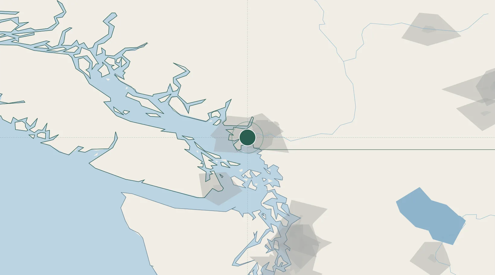
New Westminster
49.1646°, -122.9417°
78,916
Population
1
Transport functions
Transport Functions
Port
Hub Profile
Place type
Populated place
Region
British Columbia
Population
78,916
Time zone
America/Vancouver
Elevation
60 m
Logistics facilities
1
Location
Nearby Logistics Neighbours
Cities
- 1Fraser-Surrey Docks2 km
- 2Vancouver3 km
- 3Surrey4 km
- 4Delta9 km
- 5Conquitlam12 km
Ports
- 1Fraser Mills9 km
- 2Port Moody14 km
- 3Port Coquitlam15 km
- 4Steveston18 km
- 5Vancouver18 km
Airports
Trade Zones
- 1FTZ Vancouver Island16 km
- 2FTZ No. 128 Whatcom County48 km
- 3FTZ No. 129 Bellingham55 km
- 4FTZ No. 085 Everett140 km
- 5FTZ No. 005 Seattle176 km
DatabookThe Record of Consolidated Knowledge
Canada beyond logistics?