UN/LOCODE hub · Canada
CAISP

Iron Springs

49.9333°, -112.6833°
2
Transport functions

Transport Functions

Rail
Road
UN/LOCODE

Hub Profile

Region
AB
GeoNames

Location

Location of CAISP
Natural Earth 10m (public domain) · AB · CAISP · 49.93, -112.68GoogleOSMYandex

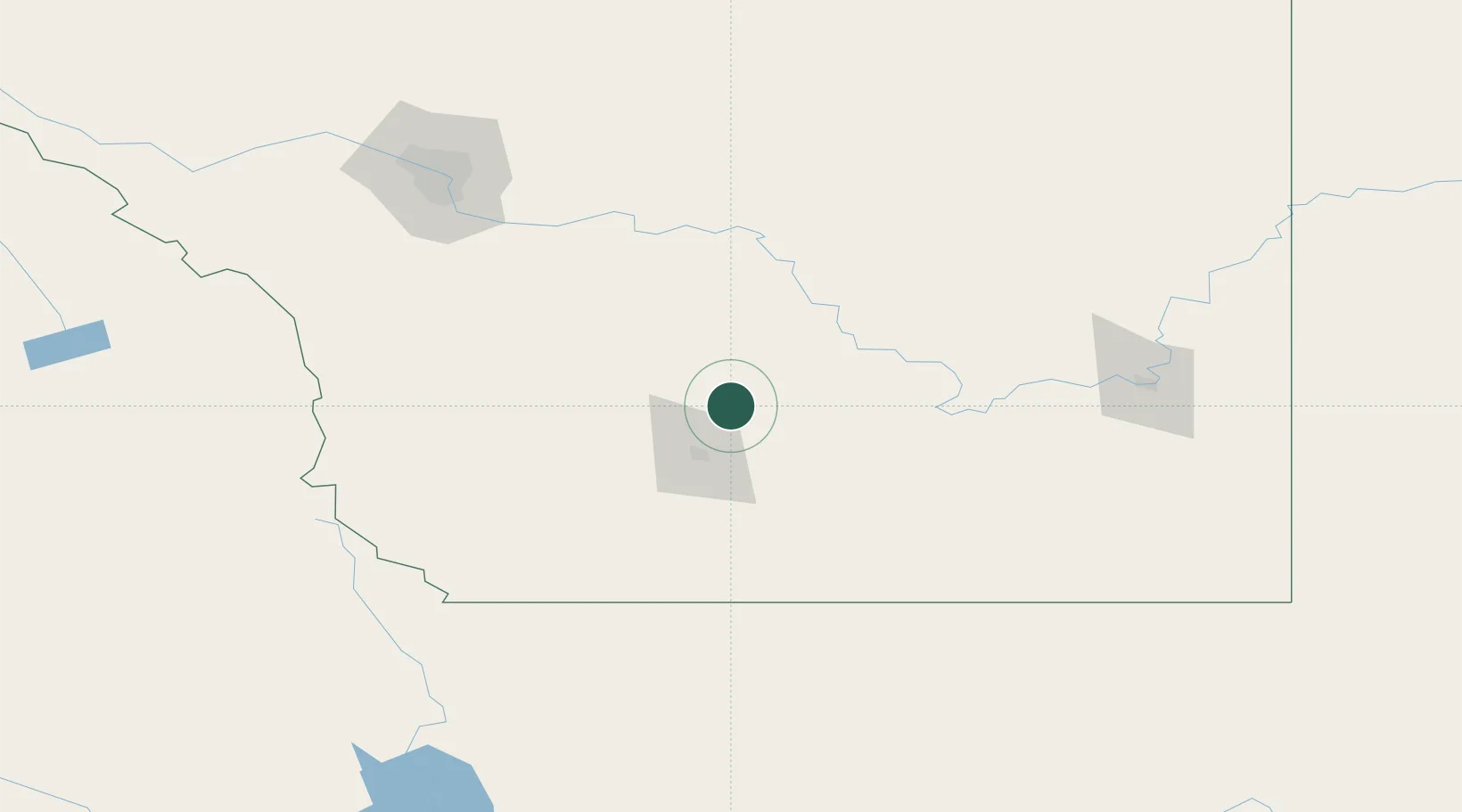
Nearby Logistics Neighbours

Cities
  1. 1Picture Butte10 km
  2. 2Cranford31 km
  3. 3Monarch34 km
  4. 4Taber42 km
  5. 5Lomond45 km
Nearest neighbours — logibook spatial index (haversine) over the source coordinates
Ports
  1. 1Mission City696 km
  2. 2Bellingham723 km
  3. 3Everett728 km
  4. 4Port Coquitlam731 km
  5. 5Blaine734 km
Nearest neighbours — logibook spatial index (haversine) over the source coordinates
Airports
  1. 1Lethbridge County Airport35 km
  2. 2Pincher Creek Airport105 km
  3. 3Medicine Hat Regional Airport141 km
  4. 4Cut Bank International Airport149 km
  5. 5Calgary International Airport162 km
Nearest neighbours — logibook spatial index (haversine) over the source coordinates
Trade Zones
  1. 1FTZ No. 187 Toole County150 km
  2. 2Calgary Region Inland Port158 km
  3. 3FTZ No. 088 Great Falls285 km
  4. 4FTZ No. 242 Boundary County327 km
  5. 5Port Alberta - Edmonton FTZ414 km
Nearest neighbours — logibook spatial index (haversine) over the source coordinates
DatabookThe Record of Consolidated Knowledge
Canada beyond logistics?
Browse databook

All Sources

LocationsUN/LOCODE
UN/LOCODE — free
Portsthe NGA World Port Index
Public domain (US gov)
AirportsOurAirports
Public domain
Trade Zonesthe World Bank SEZ database
CC BY 4.0
Trade ZonesOpen Zone Map
CC BY
← Canada locations