Transport Functions
Rail
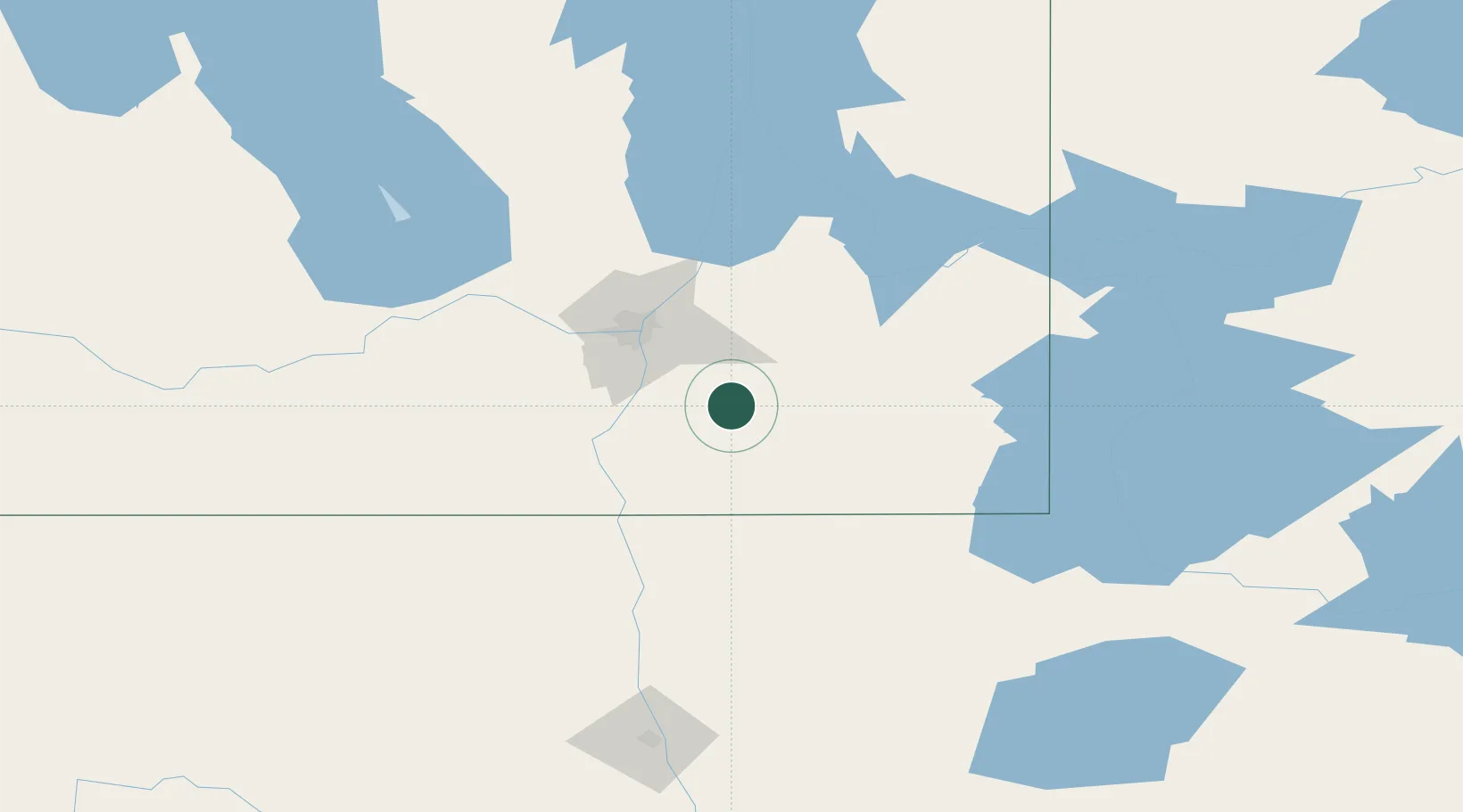
Hub Profile
Place type
Populated place
Region
Manitoba
Population
15,829
Time zone
America/Winnipeg
Elevation
263 m
Location
Nearby Logistics Neighbours
Cities
- 1La Broquerie12 km
- 2Sainte-Anne-des-Chênes17 km
- 3Otterburne27 km
- 4Niverville27 km
- 5Anola39 km
Ports
- 1Duluth457 km
- 2Superior462 km
- 3Two Harbors465 km
- 4Grand Marais506 km
- 5Bayfield530 km
Airports
Trade Zones
- 1Winnipegs Centreport Canada53 km
- 2FTZ No. 103 Grand Forks182 km
- 3FTZ No. 259 Koochiching County221 km
- 4FTZ No. 267 Fargo297 km
- 5FTZ No. 051 Duluth449 km
DatabookThe Record of Consolidated Knowledge
Canada beyond logistics?