Transport Functions
Rail
Road
Hub Profile
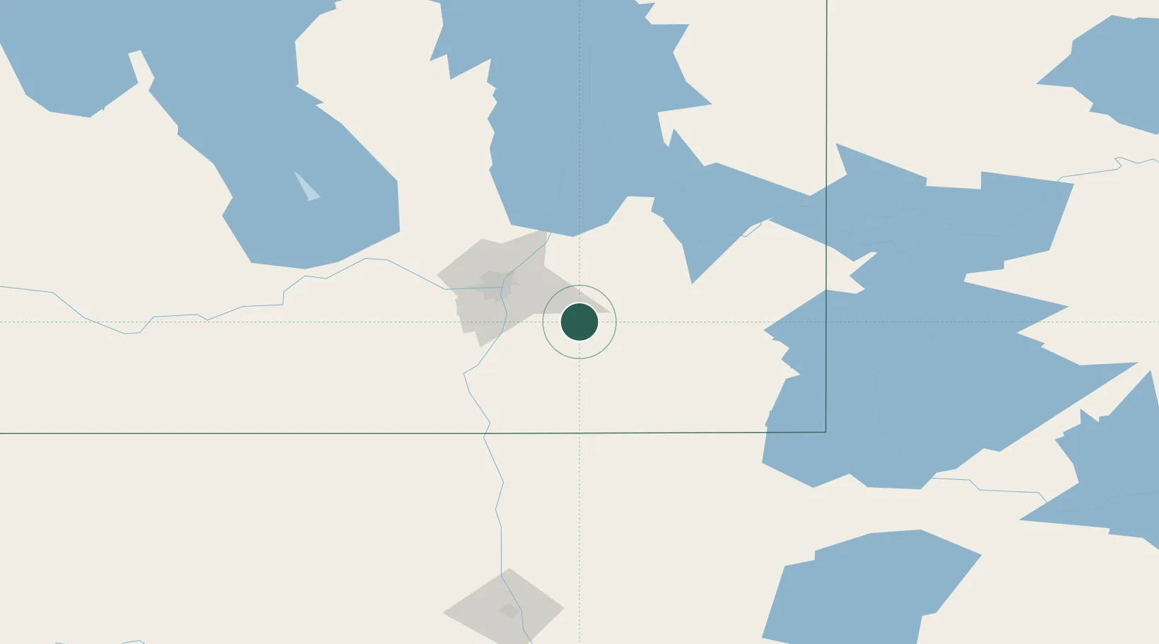
Region
MB
Location
Nearby Logistics Neighbours
Cities
- 1Steinbach17 km
- 2La Broquerie19 km
- 3Anola22 km
- 4Springfield28 km
- 5Niverville29 km
Ports
- 1Duluth466 km
- 2Superior471 km
- 3Two Harbors473 km
- 4Grand Marais510 km
- 5Bayfield537 km
Airports
Trade Zones
- 1Winnipegs Centreport Canada43 km
- 2FTZ No. 103 Grand Forks199 km
- 3FTZ No. 259 Koochiching County230 km
- 4FTZ No. 267 Fargo314 km
- 5FTZ No. 051 Duluth459 km
DatabookThe Record of Consolidated Knowledge
Canada beyond logistics?