Transport Functions
Rail
Road
Hub Profile
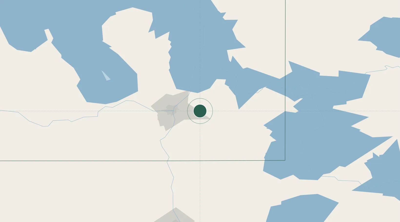
Region
MB
Location
Nearby Logistics Neighbours
Cities
- 1Springfield6 km
- 2Sainte-Anne-des-Chênes22 km
- 3Beauséjour23 km
- 4Lockport32 km
- 5East Saint-Paul33 km
Ports
- 1Duluth482 km
- 2Superior486 km
- 3Two Harbors486 km
- 4Grand Marais519 km
- 5Bayfield550 km
Airports
Trade Zones
- 1Winnipegs Centreport Canada35 km
- 2FTZ No. 103 Grand Forks220 km
- 3FTZ No. 259 Koochiching County245 km
- 4FTZ No. 267 Fargo336 km
- 5FTZ No. 051 Duluth474 km
DatabookThe Record of Consolidated Knowledge
Canada beyond logistics?