Transport Functions
Rail
Road
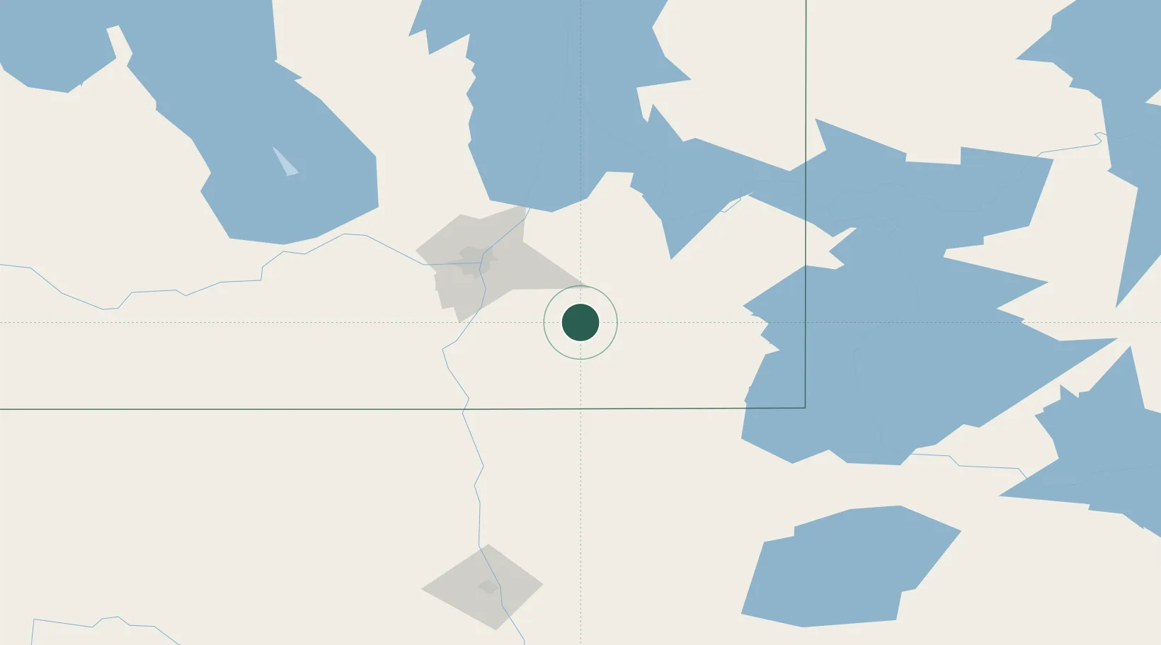
Hub Profile
Place type
Populated place
Region
Manitoba
Population
1,073
Time zone
America/Winnipeg
Elevation
268 m
Location
Nearby Logistics Neighbours
Cities
- 1Steinbach12 km
- 2Sainte-Anne-des-Chênes19 km
- 3Niverville38 km
- 4Otterburne39 km
- 5Anola40 km
Ports
- 1Duluth448 km
- 2Superior453 km
- 3Two Harbors455 km
- 4Grand Marais495 km
- 5Bayfield519 km
Airports
Trade Zones
- 1Winnipegs Centreport Canada61 km
- 2FTZ No. 103 Grand Forks185 km
- 3FTZ No. 259 Koochiching County212 km
- 4FTZ No. 267 Fargo298 km
- 5FTZ No. 051 Duluth440 km
DatabookThe Record of Consolidated Knowledge
Canada beyond logistics?