Transport Functions
Rail
Road
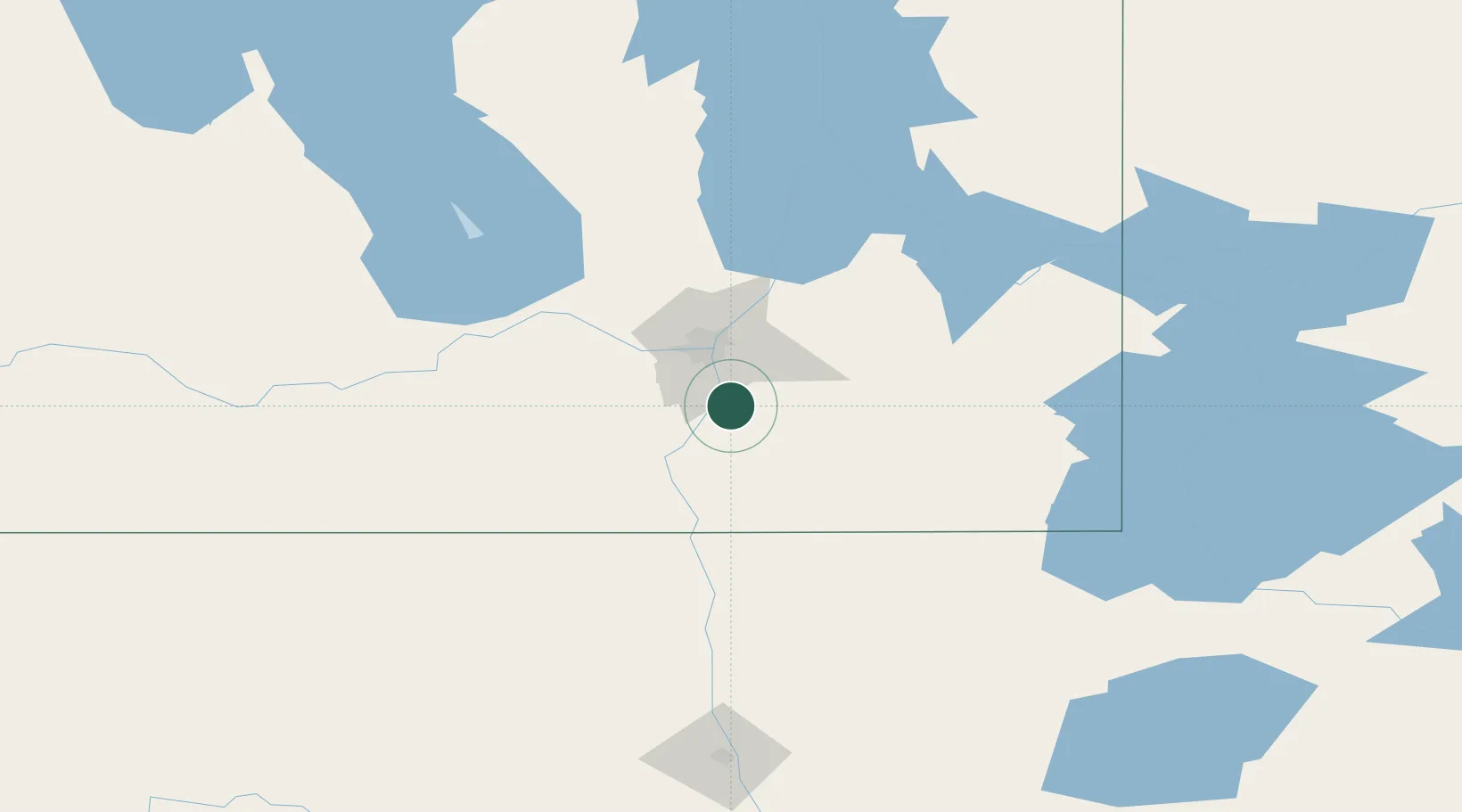
Hub Profile
Place type
Populated place
Region
Manitoba
Population
4,083
Time zone
America/Winnipeg
Elevation
235 m
Location
Nearby Logistics Neighbours
Cities
- 1Otterburne11 km
- 2La Salle20 km
- 3Steinbach27 km
- 4Sainte-Anne-des-Chênes29 km
- 5Sanford30 km
Ports
- 1Duluth483 km
- 2Superior487 km
- 3Two Harbors491 km
- 4Grand Marais533 km
- 5Bayfield556 km
Airports
Trade Zones
- 1Winnipegs Centreport Canada34 km
- 2FTZ No. 103 Grand Forks188 km
- 3FTZ No. 259 Koochiching County247 km
- 4FTZ No. 267 Fargo305 km
- 5FTZ No. 051 Duluth474 km
DatabookThe Record of Consolidated Knowledge
Canada beyond logistics?