Transport Functions
Road
Multimodal
Hub Profile
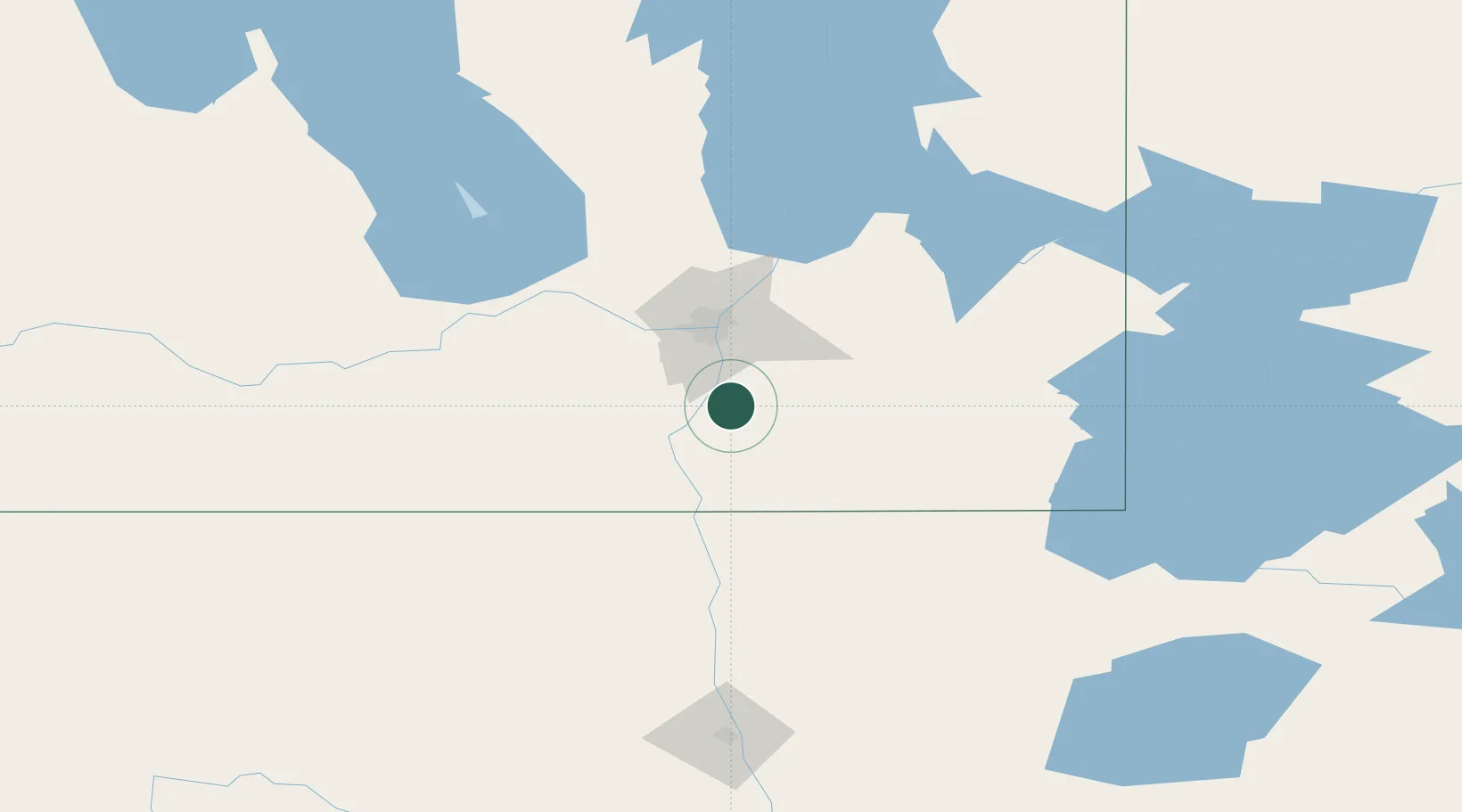
Place type
Locality
Region
Manitoba
Time zone
America/Winnipeg
Elevation
235 m
Location
Nearby Logistics Neighbours
Cities
- 1Niverville11 km
- 2Steinbach27 km
- 3La Salle27 km
- 4Morris30 km
- 5Sanford33 km
Ports
- 1Duluth477 km
- 2Superior481 km
- 3Two Harbors486 km
- 4Grand Marais530 km
- 5Bayfield551 km
Airports
Trade Zones
- 1Winnipegs Centreport Canada44 km
- 2FTZ No. 103 Grand Forks177 km
- 3FTZ No. 259 Koochiching County242 km
- 4FTZ No. 267 Fargo294 km
- 5FTZ No. 051 Duluth468 km
DatabookThe Record of Consolidated Knowledge
Canada beyond logistics?