Transport Functions
Port
Multimodal
Hub Profile
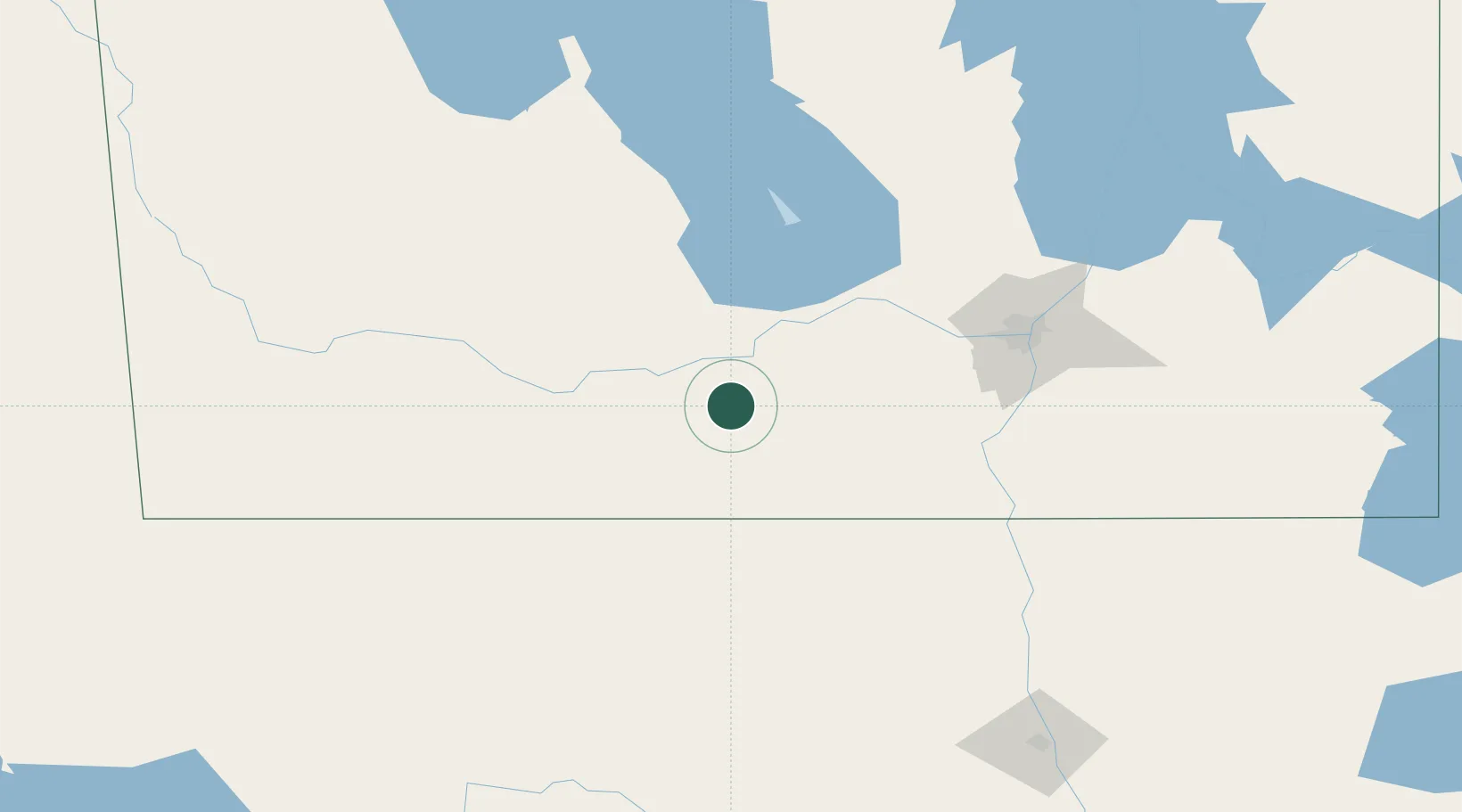
Place type
Populated place
Region
Manitoba
Time zone
America/Winnipeg
Elevation
474 m
Location
Nearby Logistics Neighbours
Cities
- 1Saint-Claude20 km
- 2Manitou33 km
- 3Southport47 km
- 4Portage La Prairie52 km
- 5Crystal City53 km
Ports
- 1Duluth569 km
- 2Superior573 km
- 3Two Harbors582 km
- 4Grand Marais635 km
- 5Bayfield649 km
Airports
Trade Zones
- 1Winnipegs Centreport Canada109 km
- 2FTZ No. 103 Grand Forks206 km
- 3FTZ No. 267 Fargo320 km
- 4FTZ No. 259 Koochiching County339 km
- 5Global Transportation Hub Authority455 km
DatabookThe Record of Consolidated Knowledge
Canada beyond logistics?