Transport Functions
Rail
Road
Hub Profile
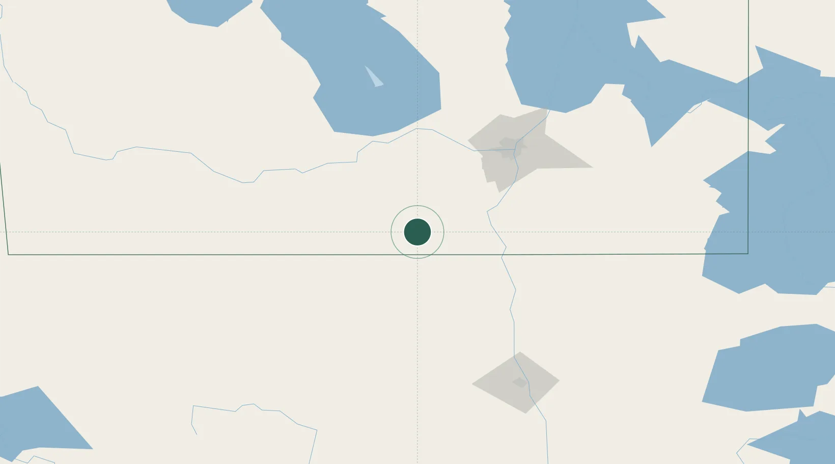
Place type
Populated place
Region
Manitoba
Population
12,660
Time zone
America/Winnipeg
Elevation
271 m
Location
Nearby Logistics Neighbours
Ports
- 1Duluth510 km
- 2Superior515 km
- 3Two Harbors525 km
- 4Grand Marais582 km
- 5Bayfield592 km
Airports
Trade Zones
- 1Winnipegs Centreport Canada98 km
- 2FTZ No. 103 Grand Forks152 km
- 3FTZ No. 267 Fargo269 km
- 4FTZ No. 259 Koochiching County284 km
- 5FTZ No. 051 Duluth501 km
DatabookThe Record of Consolidated Knowledge
Canada beyond logistics?