Transport Functions
Port
Hub Profile
Place type
Populated place
Region
Manitoba
Time zone
America/Winnipeg
Elevation
236 m
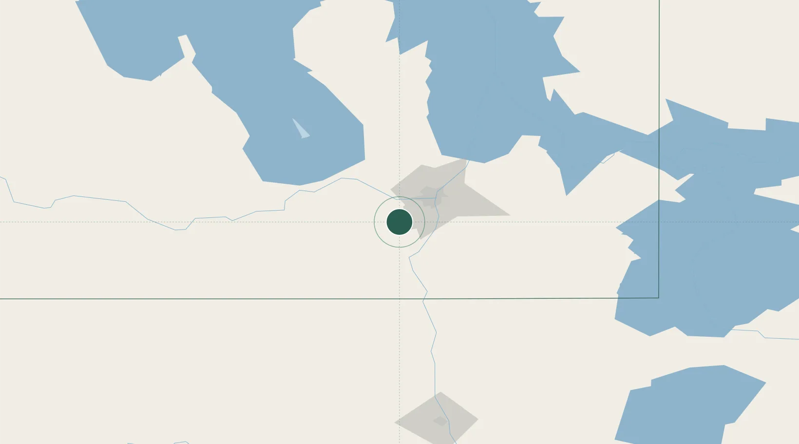
Location
Nearby Logistics Neighbours
Cities
- 1La Salle13 km
- 2Niverville30 km
- 3Winnipeg33 km
- 4Otterburne33 km
- 5Rosser35 km
Ports
- 1Duluth510 km
- 2Superior514 km
- 3Two Harbors519 km
- 4Grand Marais563 km
- 5Bayfield584 km
Airports
Trade Zones
- 1Winnipegs Centreport Canada33 km
- 2FTZ No. 103 Grand Forks196 km
- 3FTZ No. 259 Koochiching County275 km
- 4FTZ No. 267 Fargo315 km
- 5FTZ No. 051 Duluth501 km
DatabookThe Record of Consolidated Knowledge
Canada beyond logistics?