Transport Functions
Rail
Road
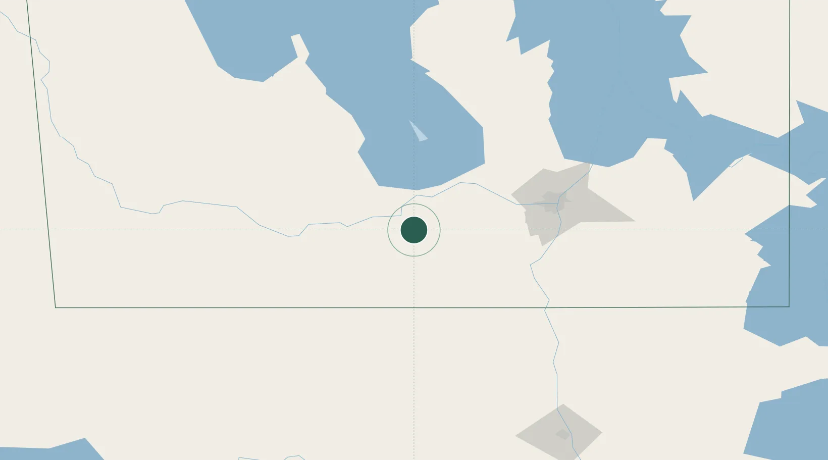
Hub Profile
Place type
Populated place
Region
Quebec
Time zone
America/Toronto
Elevation
215 m
Location
Nearby Logistics Neighbours
Cities
- 1Notre-Dame-de-Lourdes20 km
- 2Southport30 km
- 3Portage La Prairie35 km
- 4Newton37 km
- 5Oakville38 km
Ports
- 1Duluth562 km
- 2Superior566 km
- 3Two Harbors574 km
- 4Grand Marais624 km
- 5Bayfield640 km
Airports
Trade Zones
- 1Winnipegs Centreport Canada90 km
- 2FTZ No. 103 Grand Forks211 km
- 3FTZ No. 267 Fargo327 km
- 4FTZ No. 259 Koochiching County331 km
- 5Global Transportation Hub Authority467 km
DatabookThe Record of Consolidated Knowledge
Canada beyond logistics?