Transport Functions
Port
Rail
Road
Hub Profile
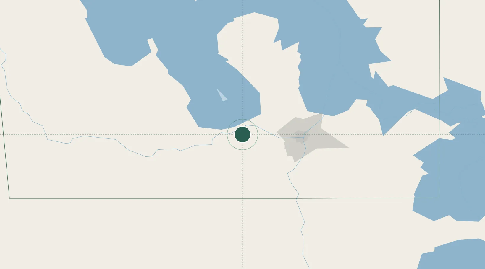
Place type
Populated place
Region
Manitoba
Time zone
America/Winnipeg
Elevation
251 m
Location
Nearby Logistics Neighbours
Cities
- 1Newton5 km
- 2Saint-Eustache17 km
- 3Southport19 km
- 4Portage La Prairie21 km
- 5Saint-Claude38 km
Ports
- 1Duluth559 km
- 2Superior563 km
- 3Two Harbors568 km
- 4Grand Marais610 km
- 5Bayfield633 km
Airports
Trade Zones
- 1Winnipegs Centreport Canada62 km
- 2FTZ No. 103 Grand Forks231 km
- 3FTZ No. 259 Koochiching County324 km
- 4FTZ No. 267 Fargo349 km
- 5Global Transportation Hub Authority484 km
DatabookThe Record of Consolidated Knowledge
Canada beyond logistics?