UN/LOCODE hub · Canada
CAPLP
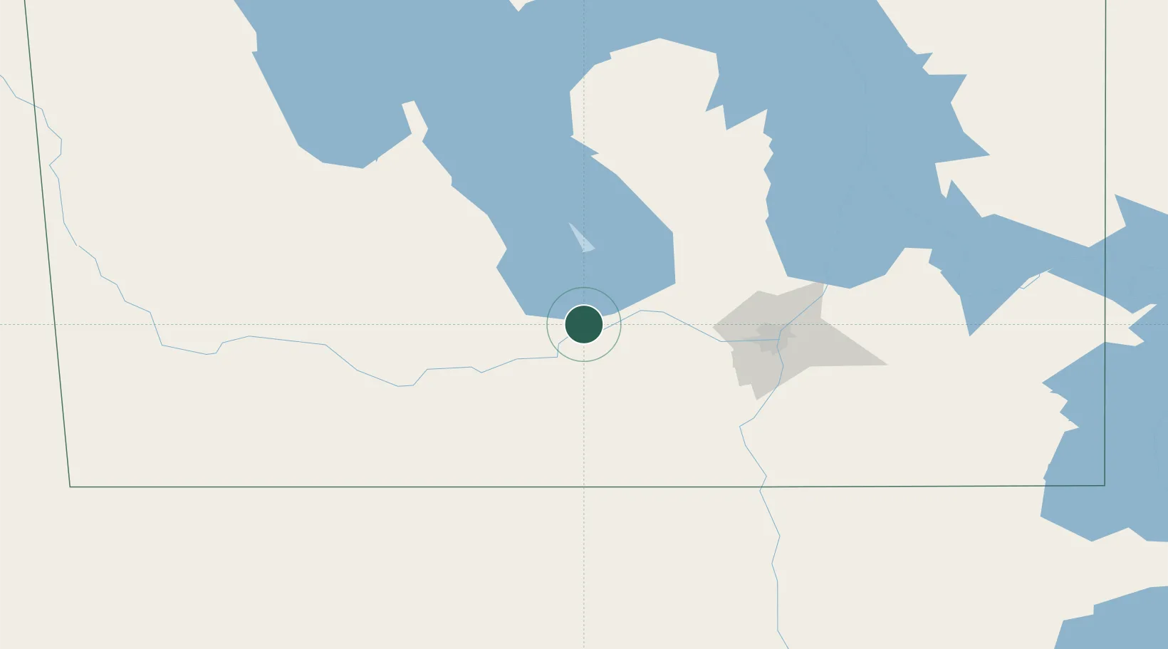
Portage La Prairie
49.9667°, -98.2833°
13,304
Population
3
Transport functions
Transport Functions
Rail
Road
Airport
Hub Profile
Place type
Populated place
Region
Manitoba
Population
13,304
Time zone
America/Winnipeg
Elevation
263 m
Location
Nearby Logistics Neighbours
Cities
- 1Southport6 km
- 2Newton16 km
- 3Oakville21 km
- 4Saint-Claude35 km
- 5Saint-Eustache37 km
Ports
- 1Duluth579 km
- 2Superior583 km
- 3Two Harbors588 km
- 4Grand Marais631 km
- 5Bayfield654 km
Airports
Trade Zones
- 1Winnipegs Centreport Canada82 km
- 2FTZ No. 103 Grand Forks242 km
- 3FTZ No. 259 Koochiching County344 km
- 4FTZ No. 267 Fargo359 km
- 5Global Transportation Hub Authority463 km
DatabookThe Record of Consolidated Knowledge
Canada beyond logistics?