Transport Functions
Port
Rail
Road
Hub Profile
Place type
Urban district
Region
Alberta
Time zone
America/Edmonton
Elevation
659 m
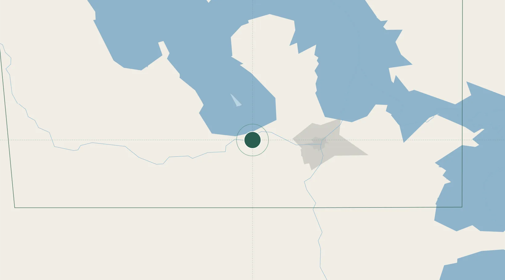
Location
Nearby Logistics Neighbours
Cities
- 1Oakville5 km
- 2Southport14 km
- 3Portage La Prairie16 km
- 4Saint-Eustache22 km
- 5Saint-Claude37 km
Ports
- 1Duluth564 km
- 2Superior568 km
- 3Two Harbors573 km
- 4Grand Marais615 km
- 5Bayfield639 km
Airports
Trade Zones
- 1Winnipegs Centreport Canada67 km
- 2FTZ No. 103 Grand Forks234 km
- 3FTZ No. 259 Koochiching County329 km
- 4FTZ No. 267 Fargo352 km
- 5Global Transportation Hub Authority479 km
DatabookThe Record of Consolidated Knowledge
Canada beyond logistics?